Distance to St. Albans, New York

Calculating Your Route
Just a moment while we process your request...
Location Information
-
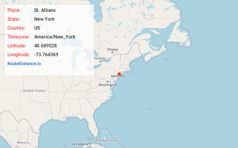
Full AddressSt. Albans, Queens, NY
-
Coordinates40.6895283, -73.7643688
-
NeighborhoodSt. Albans
-
LocationQueens , New York , US
-
TimezoneAmerica/New_York
-
Current Local Time12:00:38 AM America/New_YorkTuesday, June 17, 2025
-
Page Views0
About St. Albans
St. Albans is a residential neighborhood in the southeastern portion of the New York City borough of Queens.


Nearby Places
Found 10 places within 50 miles

Queens
3.1 mi
5.0 km
Queens, NY
Get directions

John F. Kennedy International Airport
3.2 mi
5.1 km
John F. Kennedy International Airport (JFK), Queens, NY 11430
Get directions

South Valley Stream
3.4 mi
5.5 km
South Valley Stream, NY 11581
Get directions

Valley Stream
3.4 mi
5.5 km
Valley Stream, NY
Get directions

Bellerose
3.5 mi
5.6 km
Bellerose, NY 11001
Get directions
South Floral Park
3.8 mi
6.1 km
South Floral Park, NY
Get directions

Floral Park
3.9 mi
6.3 km
Floral Park, NY 11001
Get directions
Stewart Manor
4.5 mi
7.2 km
Stewart Manor, NY
Get directions

Malverne
4.8 mi
7.7 km
Malverne, NY
Get directions

Franklin Square
4.8 mi
7.7 km
Franklin Square, NY
Get directions
Location Links
Local Weather
Weather Information
Coming soon!
Location Map
Static map view of St. Albans, New York
Browse Places by Distance
Places within specific distances from St. Albans
Short Distances
Long Distances
Click any distance to see all places within that range from St. Albans. Distances shown in miles (1 mile ≈ 1.61 kilometers).