Distance to St Andrews, Tennessee

Calculating Your Route
Just a moment while we process your request...
Location Information
-
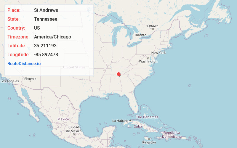
Full AddressSt Andrews, TN 37375
-
Coordinates35.2111925, -85.8924777
-
LocationSt Andrews , Tennessee , US
-
TimezoneAmerica/Chicago
-
Current Local Time4:09:41 PM America/ChicagoWednesday, June 18, 2025
-
Page Views0
Nearby Places
Found 10 places within 50 miles

Sewanee
1.7 mi
2.7 km
Sewanee, TN 37375
Get directions

Bobtown
2.2 mi
3.5 km
Bobtown, Sewanee, TN 37375
Get directions

Monteagle
3.6 mi
5.8 km
Monteagle, TN
Get directions
Roark Cove
5.3 mi
8.5 km
Roark Cove, Tennessee 37324
Get directions

Alto
5.3 mi
8.5 km
Alto, TN 37324
Get directions
Bells Mill
5.6 mi
9.0 km
Bells Mill, TN 37324
Get directions
Rockledge
6.1 mi
9.8 km
Rockledge, TN 37318
Get directions
Martin Springs
6.6 mi
10.6 km
Martin Springs, TN 37380
Get directions
Greenhaw
6.7 mi
10.8 km
Greenhaw, TN 37324
Get directions

Pelham
6.9 mi
11.1 km
Pelham, TN
Get directions
Location Links
Local Weather
Weather Information
Coming soon!
Location Map
Static map view of St Andrews, Tennessee
Browse Places by Distance
Places within specific distances from St Andrews
Short Distances
Long Distances
Click any distance to see all places within that range from St Andrews. Distances shown in miles (1 mile ≈ 1.61 kilometers).