Distance to St Andrews, Alba / Scotland

Calculating Your Route
Just a moment while we process your request...
Location Information
-
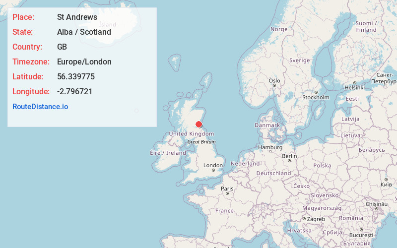
Full AddressSt Andrews, UK
-
Coordinates56.3397753, -2.7967214
-
LocationSt Andrews , Alba / Scotland , GB
-
TimezoneEurope/London
-
Current Local Time12:43:07 AM Europe/LondonFriday, July 4, 2025
-
Website
-
Page Views0
About St Andrews
St. Andrews is a seaside town northeast of Edinburgh, on Scotland’s east coast. It's known for its many golf courses, including the Old Course, with the landmark Swilcan Bridge at the 18th hole. The British Golf Museum chronicles the history of U.K. golf. On a headland nearby are the ruins of St. Andrews Castle, with its medieval bottle dungeon. Close to the castle is the University of St. Andrews, founded in 1413.


Nearby Places
Found 1 places within 50 miles

Location Links
Local Weather
Weather Information
Coming soon!
Location Map
Static map view of St Andrews, Alba / Scotland
Browse Places by Distance
Places within specific distances from St Andrews
Short Distances
Long Distances
Click any distance to see all places within that range from St Andrews. Distances shown in miles (1 mile ≈ 1.61 kilometers).