Distance to St. Andrews State Park, Florida

Calculating Your Route
Just a moment while we process your request...
Location Information
-
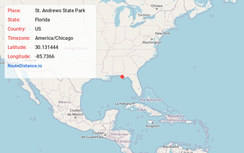
Full AddressSt. Andrews State Park, 4607 State Park Ln, Panama City, FL 32408
-
Coordinates30.1314437, -85.7365997
-
Street4607 State Park Ln
-
LocationPanama City , Florida , US
-
TimezoneAmerica/Chicago
-
Current Local Time11:19:11 AM America/ChicagoSaturday, June 14, 2025
-
Page Views0
About St. Andrews State Park
Outdoor sanctuary with beaches, nature trails & camping plus seasonal Shell Island boat tours.


Nearby Places
Found 10 places within 50 miles

Delwood Beach
1.7 mi
2.7 km
Delwood Beach, Upper Grand Lagoon, FL 32408
Get directions
Magnolia Beach
2.0 mi
3.2 km
Magnolia Beach, Upper Grand Lagoon, FL 32408
Get directions

Grand Lagoon
2.7 mi
4.3 km
Grand Lagoon, Florida
Get directions

Shell Island
3.6 mi
5.8 km
Shell Island, Florida 32403
Get directions
Pretty Bayou
5.1 mi
8.2 km
Pretty Bayou, FL 32405
Get directions
Beacon Beach
5.8 mi
9.3 km
Beacon Beach, Tyndall AFB, FL 32403
Get directions

Springfield
7.6 mi
12.2 km
Springfield, FL
Get directions
Parker
8.0 mi
12.9 km
Parker, FL 32404
Get directions

Tyndall AFB
8.5 mi
13.7 km
Tyndall AFB, FL 32403
Get directions

Lynn Haven
9.5 mi
15.3 km
Lynn Haven, FL
Get directions
Location Links
Local Weather
Weather Information
Coming soon!
Location Map
Static map view of St. Andrews State Park, Florida
Browse Places by Distance
Places within specific distances from St. Andrews State Park
Short Distances
Long Distances
Click any distance to see all places within that range from St. Andrews State Park. Distances shown in miles (1 mile ≈ 1.61 kilometers).