Distance to St Clair, Michigan

Calculating Your Route
Just a moment while we process your request...
Location Information
-
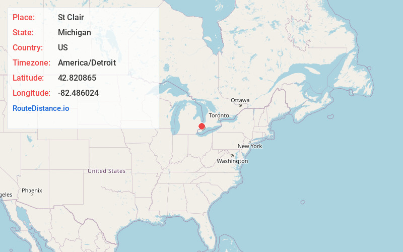
Full AddressSt Clair, MI 48079
-
Coordinates42.8208653, -82.486024
-
LocationSt Clair , Michigan , US
-
TimezoneAmerica/Detroit
-
Current Local Time1:36:32 AM America/DetroitThursday, June 19, 2025
-
Website
-
Page Views1
About St Clair
St. Clair is a city in St. Clair County in the eastern "Thumb" of the U.S. state of Michigan. The population was 5,485 at the 2010 census. The city is located on the St. Clair River near the southeast corner of St. Clair Township.


Nearby Places
Found 10 places within 50 miles

Hawthorne
3.4 mi
5.5 km
Hawthorne, East China Twp, MI 48054
Get directions

Marysville
6.3 mi
10.1 km
Marysville, MI
Get directions
Rattle Run
6.6 mi
10.6 km
Rattle Run, St Clair Township, MI 48079
Get directions

Marine City
7.0 mi
11.3 km
Marine City, MI 48039
Get directions
Adair
7.7 mi
12.4 km
Adair, MI 48064
Get directions

Smiths Creek
8.7 mi
14.0 km
Smiths Creek, MI 48074
Get directions
Martindale Beach
9.0 mi
14.5 km
Martindale Beach, Cottrellville Township, MI 48039
Get directions
Peters
9.1 mi
14.6 km
Peters, Casco Township, MI 48064
Get directions
Snyderville
9.5 mi
15.3 km
Snyderville, Columbus Township, MI 48063
Get directions
Cherry Beach
9.5 mi
15.3 km
Cherry Beach, Cottrellville Township, MI 48039
Get directions
Location Links
Local Weather
Weather Information
Coming soon!
Location Map
Static map view of St Clair, Michigan
Browse Places by Distance
Places within specific distances from St Clair
Short Distances
Long Distances
Click any distance to see all places within that range from St Clair. Distances shown in miles (1 mile ≈ 1.61 kilometers).