Distance to St Edward, Nebraska

Calculating Your Route
Just a moment while we process your request...
Location Information
-
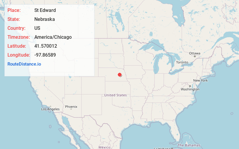
Full AddressSt Edward, NE 68660
-
Coordinates41.5700122, -97.8658897
-
LocationSt Edward , Nebraska , US
-
TimezoneAmerica/Chicago
-
Current Local Time5:16:38 AM America/ChicagoSunday, June 15, 2025
-
Page Views0
About St Edward
St. Edward or Saint Edward is a city in Boone County, Nebraska, United States. The population was 725 at the 2020 census.
Nearby Places
Found 10 places within 50 miles

Genoa
10.9 mi
17.5 km
Genoa, NE 68640
Get directions

Albion
10.9 mi
17.5 km
Albion, NE 68620
Get directions

Newman Grove
13.3 mi
21.4 km
Newman Grove, NE 68758
Get directions

Fullerton
15.2 mi
24.5 km
Fullerton, NE 68638
Get directions

Humphrey
21.5 mi
34.6 km
Humphrey, NE 68642
Get directions
Duncan
23.0 mi
37.0 km
Duncan, NE
Get directions

Madison
27.7 mi
44.6 km
Madison, NE 68748
Get directions

Columbus
27.9 mi
44.9 km
Columbus, NE 68601
Get directions
Elgin
30.7 mi
49.4 km
Elgin, NE 68636
Get directions

Osceola
31.5 mi
50.7 km
Osceola, NE 68651
Get directions
Location Links
Local Weather
Weather Information
Coming soon!
Location Map
Static map view of St Edward, Nebraska
Browse Places by Distance
Places within specific distances from St Edward
Short Distances
Long Distances
Click any distance to see all places within that range from St Edward. Distances shown in miles (1 mile ≈ 1.61 kilometers).