Distance to St Helena, California

Calculating Your Route
Just a moment while we process your request...
Location Information
-
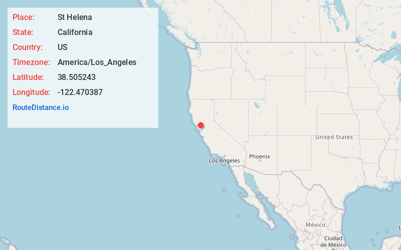
Full AddressSt Helena, CA
-
Coordinates38.5052429, -122.4703868
-
LocationSt Helena , California , US
-
TimezoneAmerica/Los_Angeles
-
Current Local Time4:46:25 PM America/Los_AngelesSunday, June 1, 2025
-
Website
-
Page Views0
About St Helena
St. Helena is a city in Napa County, California, United States. Located in the North Bay region of the San Francisco Bay Area, the population was 5,438 at the 2020 census.
St. Helena is a popular tourist destination, owing to its vineyards and culinary scene.


Nearby Places
Found 10 places within 50 miles

Boyes Hot Springs
13.2 mi
21.2 km
Boyes Hot Springs, CA 95476
Get directions

Santa Rosa
13.9 mi
22.4 km
Santa Rosa, CA
Get directions

Sonoma
14.8 mi
23.8 km
Sonoma, CA 95476
Get directions

Larkfield-Wikiup
15.5 mi
24.9 km
Larkfield-Wikiup, CA
Get directions

Rohnert Park
16.9 mi
27.2 km
Rohnert Park, CA
Get directions

Napa
17.5 mi
28.2 km
Napa, CA
Get directions

Cotati
17.8 mi
28.6 km
Cotati, CA 94931
Get directions

Windsor
18.9 mi
30.4 km
Windsor, CA
Get directions

Sebastopol
20.4 mi
32.8 km
Sebastopol, CA 95472
Get directions

Petaluma
20.9 mi
33.6 km
Petaluma, CA
Get directions
Location Links
Local Weather
Weather Information
Coming soon!
Location Map
Static map view of St Helena, California
Browse Places by Distance
Places within specific distances from St Helena
Short Distances
Long Distances
Click any distance to see all places within that range from St Helena. Distances shown in miles (1 mile ≈ 1.61 kilometers).