Distance to St James, Nebraska

Calculating Your Route
Just a moment while we process your request...
Location Information
-
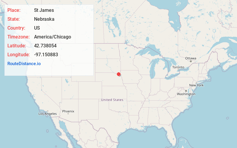
Full AddressSt James, Precinct 5, NE 68792
-
Coordinates42.7380537, -97.1508832
-
LocationPrecinct 5 , Nebraska , US
-
TimezoneAmerica/Chicago
-
Current Local Time6:03:36 AM America/ChicagoSunday, May 25, 2025
-
Page Views0
About St James
St. James, an unincorporated community in Cedar County, Nebraska, United States, was first settled in 1856 and served as the first county seat of Cedar County. St. James, however, claims two former locations. The first was at the confluence of Bow Creek and the Missouri River.
Nearby Places
Found 10 places within 50 miles

Wynot
0.9 mi
1.4 km
Wynot, NE 68792
Get directions
Bow Valley Mills
1.8 mi
2.9 km
Bow Valley Mills, Precinct 5, NE 68792
Get directions

St Helena
7.0 mi
11.3 km
St Helena, NE 68774
Get directions

Obert
7.1 mi
11.4 km
Obert, NE 68757
Get directions

Meckling
8.2 mi
13.2 km
Meckling, SD 57069
Get directions

Maskell
9.2 mi
14.8 km
Maskell, NE 68751
Get directions

Hartington
9.9 mi
15.9 km
Hartington, NE 68739
Get directions
Gayville
10.4 mi
16.7 km
Gayville, SD 57031
Get directions

Fordyce
11.1 mi
17.9 km
Fordyce, NE 68736
Get directions

Vermillion
11.6 mi
18.7 km
Vermillion, SD 57069
Get directions
Location Links
Local Weather
Weather Information
Coming soon!
Location Map
Static map view of St James, Nebraska
Browse Places by Distance
Places within specific distances from St James
Short Distances
Long Distances
Click any distance to see all places within that range from St James. Distances shown in miles (1 mile ≈ 1.61 kilometers).