Distance to St Lawrence, South Dakota

Calculating Your Route
Just a moment while we process your request...
Location Information
-
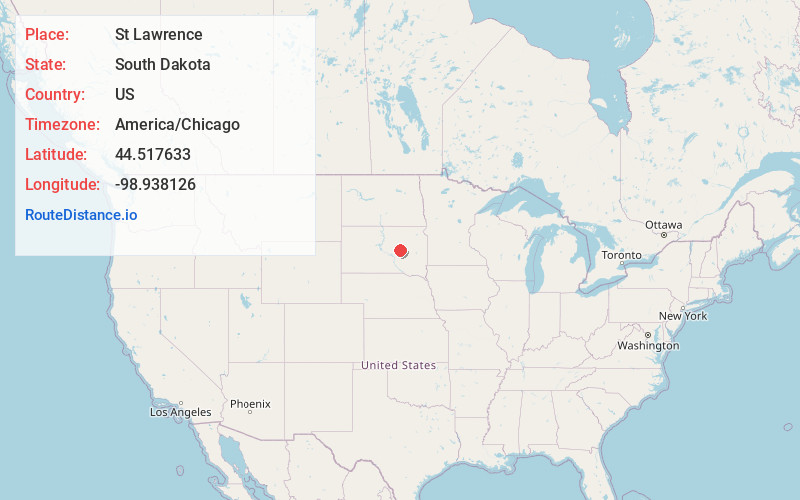
Full AddressSt Lawrence, SD
-
Coordinates44.5176332, -98.9381261
-
LocationSt Lawrence , South Dakota , US
-
TimezoneAmerica/Chicago
-
Current Local Time1:42:28 AM America/ChicagoFriday, June 20, 2025
-
Page Views0
About St Lawrence
St. Lawrence or Saint Lawrence is a town in central Hand County, South Dakota, United States. The population was 164 at the 2020 census.

Nearby Places
Found 10 places within 50 miles

Miller
2.5 mi
4.0 km
Miller, SD 57362
Get directions

Wolsey
24.1 mi
38.8 km
Wolsey, SD 57384
Get directions

Highmore
24.8 mi
39.9 km
Highmore, SD 57345
Get directions
Tulare
26.0 mi
41.8 km
Tulare, SD 57476
Get directions

Redfield
32.2 mi
51.8 km
Redfield, SD 57469
Get directions

Wessington Springs
35.4 mi
57.0 km
Wessington Springs, SD 57382
Get directions
Alpena
36.6 mi
58.9 km
Alpena, SD 57312
Get directions
Faulkton
36.9 mi
59.4 km
Faulkton, SD 57438
Get directions

Huron
37.3 mi
60.0 km
Huron, SD 57350
Get directions
Glendale Colony
37.4 mi
60.2 km
Glendale Colony, SD 57440
Get directions
Location Links
Local Weather
Weather Information
Coming soon!
Location Map
Static map view of St Lawrence, South Dakota
Browse Places by Distance
Places within specific distances from St Lawrence
Short Distances
Long Distances
Click any distance to see all places within that range from St Lawrence. Distances shown in miles (1 mile ≈ 1.61 kilometers).