Distance to St Leo, Minnesota

Calculating Your Route
Just a moment while we process your request...
Location Information
-
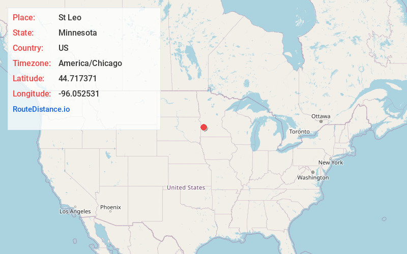
Full AddressSt Leo, MN 56291
-
Coordinates44.7173707, -96.0525312
-
LocationSt Leo , Minnesota , US
-
TimezoneAmerica/Chicago
-
Current Local Time8:22:29 PM America/ChicagoFriday, May 30, 2025
-
Page Views0
About St Leo
St. Leo or Saint Leo is a city in Yellow Medicine County, Minnesota, United States. The population was 93 at the 2020 census.
Nearby Places
Found 10 places within 50 miles

Porter
7.9 mi
12.7 km
Porter, MN 56280
Get directions
Taunton
8.6 mi
13.8 km
Taunton, MN 56291
Get directions

Canby
11.0 mi
17.7 km
Canby, MN 56220
Get directions

Minneota
11.4 mi
18.3 km
Minneota, MN
Get directions

Boyd
11.7 mi
18.8 km
Boyd, MN 56218
Get directions

Clarkfield
13.1 mi
21.1 km
Clarkfield, MN 56223
Get directions
Dawson
14.8 mi
23.8 km
Dawson, MN 56232
Get directions
Ghent
16.2 mi
26.1 km
Ghent, MN
Get directions

Ivanhoe
20.0 mi
32.2 km
Ivanhoe, MN 56142
Get directions

Cottonwood
20.1 mi
32.3 km
Cottonwood, MN 56229
Get directions
Location Links
Local Weather
Weather Information
Coming soon!
Location Map
Static map view of St Leo, Minnesota
Browse Places by Distance
Places within specific distances from St Leo
Short Distances
Long Distances
Click any distance to see all places within that range from St Leo. Distances shown in miles (1 mile ≈ 1.61 kilometers).