Distance to St Libory, Nebraska

Calculating Your Route
Just a moment while we process your request...
Location Information
-
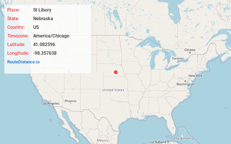
Full AddressSt Libory, NE 68872
-
Coordinates41.0825958, -98.357638
-
LocationSt Libory , Nebraska , US
-
TimezoneAmerica/Chicago
-
Current Local Time10:05:19 PM America/ChicagoMonday, May 19, 2025
-
Page Views0
About St Libory
St. Libory or Saint Libory is an unincorporated community and census-designated place in southeastern Howard County, Nebraska, United States. As of the 2010 census it had a population of 264.
It lies along U.S. Route 281, 11 miles southeast of the city of St. Paul, the county seat of Howard County.
Nearby Places
Found 10 places within 50 miles

St Paul
10.5 mi
16.9 km
St Paul, NE 68873
Get directions

Grand Island
10.8 mi
17.4 km
Grand Island, NE
Get directions

Palmer
11.0 mi
17.7 km
Palmer, NE 68864
Get directions
Cairo
14.2 mi
22.9 km
Cairo, NE 68824
Get directions

Phillips
14.8 mi
23.8 km
Phillips, NE 68865
Get directions

Alda
15.8 mi
25.4 km
Alda, NE 68810
Get directions

Central City
18.7 mi
30.1 km
Central City, NE 68826
Get directions

Doniphan
21.5 mi
34.6 km
Doniphan, NE 68832
Get directions

Wood River
22.1 mi
35.6 km
Wood River, NE 68883
Get directions

Aurora
23.7 mi
38.1 km
Aurora, NE 68818
Get directions
Location Links
Local Weather
Weather Information
Coming soon!
Location Map
Static map view of St Libory, Nebraska
Browse Places by Distance
Places within specific distances from St Libory
Short Distances
Long Distances
Click any distance to see all places within that range from St Libory. Distances shown in miles (1 mile ≈ 1.61 kilometers).