Distance to St Louis, Oregon

Calculating Your Route
Just a moment while we process your request...
Location Information
-
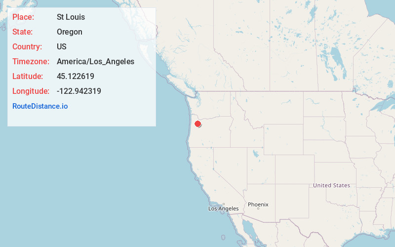
Full AddressSt Louis, OR 97026
-
Coordinates45.1226192, -122.9423191
-
LocationSt. Louis , Oregon , US
-
TimezoneAmerica/Los_Angeles
-
Current Local Time9:16:12 AM America/Los_AngelesThursday, June 19, 2025
-
Page Views0
About St Louis
Saint Louis is an unincorporated community in the French Prairie area of Marion County, Oregon, United States, about three miles northwest of Gervais, at the intersection of St. Louis and Manning roads. It is part of the Salem Metropolitan Statistical Area.
Nearby Places
Found 10 places within 50 miles

Gervais
2.4 mi
3.9 km
Gervais, OR 97026
Get directions

Woodburn
4.5 mi
7.2 km
Woodburn, OR
Get directions

Brooks
5.2 mi
8.4 km
Brooks, OR
Get directions

Wheatland
5.6 mi
9.0 km
Wheatland, OR 97304
Get directions

St Paul
6.3 mi
10.1 km
St Paul, OR 97137
Get directions
Labish Village
7.3 mi
11.7 km
Labish Village, OR 97305
Get directions

Hubbard
7.7 mi
12.4 km
Hubbard, OR 97032
Get directions

Mt Angel
7.9 mi
12.7 km
Mt Angel, OR
Get directions

Donald
8.5 mi
13.7 km
Donald, OR
Get directions

Dayton
9.4 mi
15.1 km
Dayton, OR 97114
Get directions
Location Links
Local Weather
Weather Information
Coming soon!
Location Map
Static map view of St Louis, Oregon
Browse Places by Distance
Places within specific distances from St Louis
Short Distances
Long Distances
Click any distance to see all places within that range from St Louis. Distances shown in miles (1 mile ≈ 1.61 kilometers).