Distance to St Mathias, Minnesota

Calculating Your Route
Just a moment while we process your request...
Location Information
-
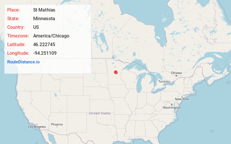
Full AddressSt Mathias, MN 56449
-
Coordinates46.2227447, -94.251109
-
LocationSt Mathias , Minnesota , US
-
TimezoneAmerica/Chicago
-
Current Local Time5:17:23 AM America/ChicagoFriday, May 30, 2025
-
Page Views0
About St Mathias
St. Mathias is an unincorporated community in St. Mathias Township, Crow Wing County, Minnesota, United States. It is along Crow Wing County Road 121 near Hay Creek Road and Sleepy Hollow Road. Nearby places include Fort Ripley, Brainerd, and St. Mathias Park. Hay Creek and the Nokasippi River both flow nearby.
Nearby Places
Found 10 places within 50 miles

Barrows
5.4 mi
8.7 km
Barrows, MN 56401
Get directions
Fort Ripley
6.5 mi
10.5 km
Fort Ripley, MN 56449
Get directions

Baxter
8.7 mi
14.0 km
Baxter, MN
Get directions

Brainerd
9.3 mi
15.0 km
Brainerd, MN 56401
Get directions
Harding
12.5 mi
20.1 km
Harding, MN 56364
Get directions

Pillager
12.9 mi
20.8 km
Pillager, MN 56473
Get directions

Belle Prairie Township
13.0 mi
20.9 km
Belle Prairie Township, MN
Get directions
East Gull Lake
13.7 mi
22.0 km
East Gull Lake, MN 56401
Get directions
Randall
15.1 mi
24.3 km
Randall, MN 56475
Get directions
Loerch
15.1 mi
24.3 km
Loerch, MN 56401
Get directions
Location Links
Local Weather
Weather Information
Coming soon!
Location Map
Static map view of St Mathias, Minnesota
Browse Places by Distance
Places within specific distances from St Mathias
Short Distances
Long Distances
Click any distance to see all places within that range from St Mathias. Distances shown in miles (1 mile ≈ 1.61 kilometers).