Distance to St Olaf Township, Minnesota

Calculating Your Route
Just a moment while we process your request...
Location Information
-
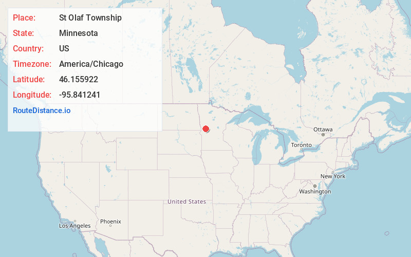
Full AddressSt Olaf Township, MN
-
Coordinates46.1559217, -95.8412412
-
LocationSt Olaf Township , Minnesota , US
-
TimezoneAmerica/Chicago
-
Current Local Time12:04:47 PM America/ChicagoSaturday, June 7, 2025
-
Page Views0
About St Olaf Township
St. Olaf Township is a township in Otter Tail County, Minnesota, United States. The population was 395 at the time of the 2020 census.
St. Olaf Township was originally called Oxford Township, and under the latter name was organized in 1869. The current name, adopted in 1870, was named after Olaf II of Norway.

Nearby Places
Found 10 places within 50 miles

Dalton
3.8 mi
6.1 km
Dalton, MN 56324
Get directions

Ashby
4.5 mi
7.2 km
Ashby, MN 56309
Get directions
Melby
8.1 mi
13.0 km
Melby, MN 56326
Get directions

Underwood
9.0 mi
14.5 km
Underwood, MN 56586
Get directions
Parkdale
9.8 mi
15.8 km
Parkdale, MN 56537
Get directions
Lund Township
10.5 mi
16.9 km
Lund Township, MN
Get directions

Battle Lake
10.6 mi
17.1 km
Battle Lake, MN 56515
Get directions
Erdahl
11.4 mi
18.3 km
Erdahl, MN 56531
Get directions
Squier
11.6 mi
18.7 km
Squier, MN 56537
Get directions

Buse Township
12.1 mi
19.5 km
Buse Township, MN 56537
Get directions
Location Links
Local Weather
Weather Information
Coming soon!
Location Map
Static map view of St Olaf Township, Minnesota
Browse Places by Distance
Places within specific distances from St Olaf Township
Short Distances
Long Distances
Click any distance to see all places within that range from St Olaf Township. Distances shown in miles (1 mile ≈ 1.61 kilometers).