Distance to St Onge, South Dakota

Calculating Your Route
Just a moment while we process your request...
Location Information
-
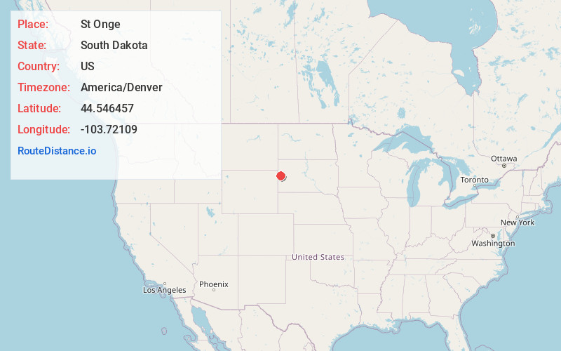
Full AddressSt Onge, SD 57779
-
Coordinates44.5464566, -103.7210895
-
LocationSt Onge , South Dakota , US
-
TimezoneAmerica/Denver
-
Current Local Time7:00:50 AM America/DenverSunday, June 22, 2025
-
Page Views0
About St Onge
Saint Onge is an unincorporated community and census-designated place in Lawrence County, South Dakota, United States. As of the 2020 census, the population was 170.


Nearby Places
Found 10 places within 50 miles

Whitewood
7.2 mi
11.6 km
Whitewood, SD 57793
Get directions

Spearfish
7.8 mi
12.6 km
Spearfish, SD
Get directions

Crook City
8.5 mi
13.7 km
Crook City, SD 57793
Get directions
Fruitdale
8.5 mi
13.7 km
Fruitdale, SD 57717
Get directions
North Spearfish
8.9 mi
14.3 km
North Spearfish, SD 57783
Get directions

Belle Fourche
10.8 mi
17.4 km
Belle Fourche, SD 57717
Get directions

Deadwood
11.7 mi
18.8 km
Deadwood, SD
Get directions

Nisland
12.0 mi
19.3 km
Nisland, SD 57762
Get directions
Central City
12.7 mi
20.4 km
Central City, SD 57754
Get directions

Lead
13.6 mi
21.9 km
Lead, SD
Get directions
Location Links
Local Weather
Weather Information
Coming soon!
Location Map
Static map view of St Onge, South Dakota
Browse Places by Distance
Places within specific distances from St Onge
Short Distances
Long Distances
Click any distance to see all places within that range from St Onge. Distances shown in miles (1 mile ≈ 1.61 kilometers).