Distance to St Paul, Texas

Calculating Your Route
Just a moment while we process your request...
Location Information
-
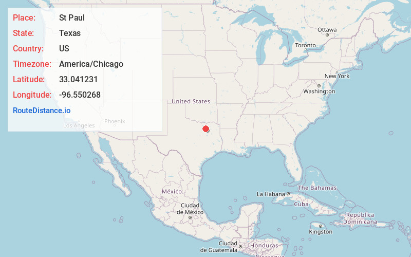
Full AddressSt Paul, TX 75098
-
Coordinates33.0412307, -96.5502681
-
LocationSt Paul , Texas , US
-
TimezoneAmerica/Chicago
-
Current Local Time6:42:06 PM America/ChicagoTuesday, June 3, 2025
-
Page Views0
About St Paul
St. Paul is a town in Collin County, Texas, United States. The population was 992 at the 2020 census.


Nearby Places
Found 10 places within 50 miles

Wylie
2.5 mi
4.0 km
Wylie, TX
Get directions

Lucas
3.3 mi
5.3 km
Lucas, TX
Get directions

Murphy
4.1 mi
6.6 km
Murphy, TX
Get directions

Parker
4.3 mi
6.9 km
Parker, TX
Get directions

Sachse
5.2 mi
8.4 km
Sachse, TX
Get directions

Lavon
6.8 mi
10.9 km
Lavon, TX
Get directions

Lowry Crossing
7.9 mi
12.7 km
Lowry Crossing, TX
Get directions

Allen
8.2 mi
13.2 km
Allen, TX
Get directions

Plano
8.7 mi
14.0 km
Plano, TX
Get directions

Fairview
9.3 mi
15.0 km
Fairview, TX 75069
Get directions
Location Links
Local Weather
Weather Information
Coming soon!
Location Map
Static map view of St Paul, Texas
Browse Places by Distance
Places within specific distances from St Paul
Short Distances
Long Distances
Click any distance to see all places within that range from St Paul. Distances shown in miles (1 mile ≈ 1.61 kilometers).