Distance to St Pete Beach, Florida

Calculating Your Route
Just a moment while we process your request...
Location Information
-
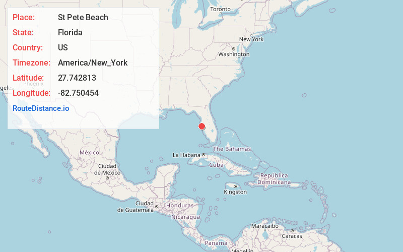
Full AddressSt Pete Beach, FL
-
Coordinates27.7428134, -82.7504542
-
LocationSt Pete Beach , Florida , US
-
TimezoneAmerica/New_York
-
Current Local Time5:32:07 AM America/New_YorkWednesday, June 18, 2025
-
Page Views0
About St Pete Beach
St. Pete Beach is a Florida resort city set on a barrier island, west of St. Petersburg. It’s known for its beaches. A 1928 landmark, the pink Moorish-style Don CeSar Hotel looms over the shore. The Pass-A-Grille area offers galleries, shops and the Gulf Beaches Historical Museum, which displays postcards and other artifacts in a 1917 church. Nearby, boats depart to Shell Key, a nesting site for seabirds and turtles.


Nearby Places
Found 10 places within 50 miles

Gulfport
2.9 mi
4.7 km
Gulfport, FL
Get directions

Lealman
6.9 mi
11.1 km
Lealman, FL
Get directions

St. Petersburg
7.1 mi
11.4 km
St. Petersburg, FL
Get directions

Seminole
7.1 mi
11.4 km
Seminole, FL
Get directions

Bardmoor
7.3 mi
11.7 km
Bardmoor, FL 33777
Get directions

Pinellas Park
7.6 mi
12.2 km
Pinellas Park, FL
Get directions

Largo
12.2 mi
19.6 km
Largo, FL
Get directions

Clearwater
15.6 mi
25.1 km
Clearwater, FL
Get directions

Safety Harbor
17.5 mi
28.2 km
Safety Harbor, FL
Get directions
Memphis
18.4 mi
29.6 km
Memphis, FL
Get directions
Location Links
Local Weather
Weather Information
Coming soon!
Location Map
Static map view of St Pete Beach, Florida
Browse Places by Distance
Places within specific distances from St Pete Beach
Short Distances
Long Distances
Click any distance to see all places within that range from St Pete Beach. Distances shown in miles (1 mile ≈ 1.61 kilometers).