Distance to St Peters, Pennsylvania

Calculating Your Route
Just a moment while we process your request...
Location Information
-
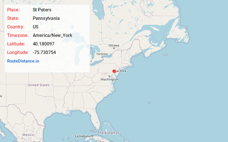
Full AddressSt Peters, PA 19465
-
Coordinates40.1800972, -75.7307542
-
LocationSt Peters , Pennsylvania , US
-
TimezoneAmerica/New_York
-
Current Local Time1:48:34 PM America/New_YorkTuesday, July 1, 2025
-
Page Views0
About St Peters
Saint Peters is an historic, nineteenth-century, industrial, company village that is located in Chester County, Pennsylvania, United States. Built near the Falls of French Creek in Warwick Township, it is situated in the Hopewell Big Woods.


Nearby Places
Found 10 places within 50 miles

South Coventry Township
2.7 mi
4.3 km
South Coventry Township, PA
Get directions
Warwick
3.0 mi
4.8 km
Warwick, PA 19520
Get directions

North Coventry Township
3.7 mi
6.0 km
North Coventry Township, PA 19465
Get directions
East Nantmeal
4.0 mi
6.4 km
East Nantmeal, PA 19343
Get directions

Unionville
4.6 mi
7.4 km
Unionville, PA 19518
Get directions

West Vincent Township
5.1 mi
8.2 km
West Vincent Township, PA
Get directions
West Pottsgrove Township
5.4 mi
8.7 km
West Pottsgrove Township, PA 19464
Get directions

Douglassville
5.5 mi
8.9 km
Douglassville, PA 19518
Get directions

Elverson
5.6 mi
9.0 km
Elverson, PA 19520
Get directions
Kulptown
5.6 mi
9.0 km
Kulptown, PA 19518
Get directions
Location Links
Local Weather
Weather Information
Coming soon!
Location Map
Static map view of St Peters, Pennsylvania
Browse Places by Distance
Places within specific distances from St Peters
Short Distances
Long Distances
Click any distance to see all places within that range from St Peters. Distances shown in miles (1 mile ≈ 1.61 kilometers).