Distance to St Thomas Township, Pennsylvania

Calculating Your Route
Just a moment while we process your request...
Location Information
-
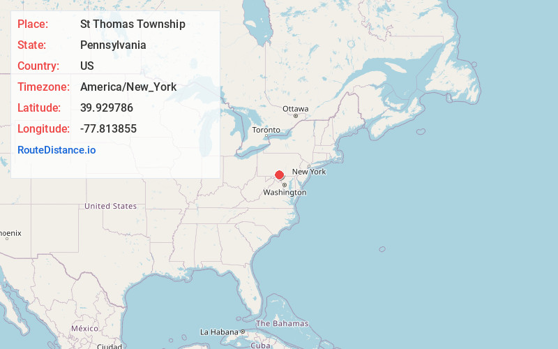
Full AddressSt Thomas Township, PA
-
Coordinates39.9297858, -77.8138553
-
LocationSt Thomas Township , Pennsylvania , US
-
TimezoneAmerica/New_York
-
Current Local Time10:50:38 PM America/New_YorkFriday, May 30, 2025
-
Page Views0
About St Thomas Township
St. Thomas Township is a township in Franklin County, Pennsylvania, United States. The population was 5,917 at the 2020 census.
It is the birthplace of both Baseball Hall of Fame member Nellie Fox, and United States Army brigadier general and legislator, Charles Thomas Campbell.
Nearby Places
Found 10 places within 50 miles

St Thomas
1.2 mi
1.9 km
St Thomas, PA 17252
Get directions

Edenville
2.0 mi
3.2 km
Edenville, St Thomas Township, PA 17202
Get directions
Markes
4.9 mi
7.9 km
Markes, PA 17236
Get directions
Sandy Hook
4.9 mi
7.9 km
Sandy Hook, Hamilton Township, PA 17202
Get directions

Fort Loudon
4.9 mi
7.9 km
Fort Loudon, PA
Get directions

Williamson
5.4 mi
8.7 km
Williamson, PA 17225
Get directions
Turkeyfoot
5.6 mi
9.0 km
Turkeyfoot, PA 17202
Get directions
Housum
6.0 mi
9.7 km
Housum, PA 17202
Get directions
Dickey
6.1 mi
9.8 km
Dickey, PA 17236
Get directions
Keefers
6.2 mi
10.0 km
Keefers, Letterkenny Township, PA 17202
Get directions
Location Links
Local Weather
Weather Information
Coming soon!
Location Map
Static map view of St Thomas Township, Pennsylvania
Browse Places by Distance
Places within specific distances from St Thomas Township
Short Distances
Long Distances
Click any distance to see all places within that range from St Thomas Township. Distances shown in miles (1 mile ≈ 1.61 kilometers).