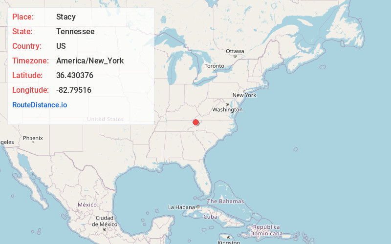
Distance to Stacy, Tennessee

Calculating Your Route
Just a moment while we process your request...
Location Information
-
Full AddressStacy, TN 37857
-
Coordinates36.4303762, -82.7951601
-
LocationTennessee , US
-
TimezoneAmerica/New_York
-
Current Local Time4:30:51 AM America/New_YorkMonday, June 16, 2025
-
Page Views0
Nearby Places
Found 10 places within 50 miles

Longs Bend
2.1 mi
3.4 km
Longs Bend, TN 37857
Get directions

Christian Bend
3.1 mi
5.0 km
Christian Bend, TN 37642
Get directions
Mole
4.2 mi
6.8 km
Mole, TN 37642
Get directions

Surgoinsville
4.2 mi
6.8 km
Surgoinsville, TN
Get directions
Miller Flats
4.3 mi
6.9 km
Miller Flats, TN 37857
Get directions
Mowls Mill
4.3 mi
6.9 km
Mowls Mill, TN 37857
Get directions
Stony Point
4.4 mi
7.1 km
Stony Point, Surgoinsville, TN 37873
Get directions
Greenland
5.0 mi
8.0 km
Greenland, Church Hill, TN 37642
Get directions
Dykes Mill
5.2 mi
8.4 km
Dykes Mill, TN 37857
Get directions
McPheeter Bend
5.8 mi
9.3 km
McPheeter Bend, TN 37642
Get directions
Location Links
Local Weather
Weather Information
Coming soon!
Location Map
Static map view of Stacy, Tennessee
Browse Places by Distance
Places within specific distances from Stacy
Short Distances
Long Distances
Click any distance to see all places within that range from Stacy. Distances shown in miles (1 mile ≈ 1.61 kilometers).