Distance to Stacy, Minnesota

Calculating Your Route
Just a moment while we process your request...
Location Information
-
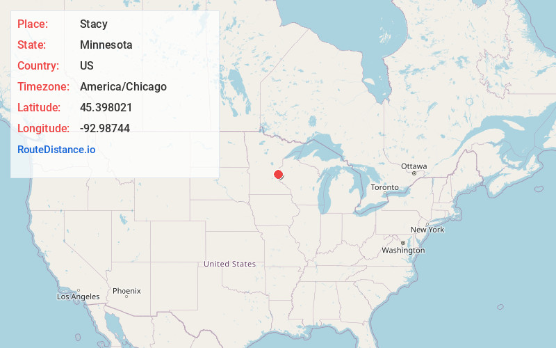
Full AddressStacy, MN 55079
-
Coordinates45.3980205, -92.9874404
-
LocationStacy , Minnesota , US
-
TimezoneAmerica/Chicago
-
Current Local Time6:03:07 PM America/ChicagoSaturday, June 14, 2025
-
Page Views0
About Stacy
Stacy is a city in Chisago County, Minnesota, United States, along the Sunrise River. The population was 1,456 at the 2010 census.
Interstate 35 serves as a main route for the community.


Nearby Places
Found 10 places within 50 miles

Wyoming
4.2 mi
6.8 km
Wyoming, MN
Get directions

Chisago City
5.0 mi
8.0 km
Chisago City, MN
Get directions

Lindstrom
6.8 mi
10.9 km
Lindstrom, MN
Get directions

North Branch
7.8 mi
12.6 km
North Branch, MN
Get directions

Forest Lake
8.2 mi
13.2 km
Forest Lake, MN
Get directions

Columbus
9.7 mi
15.6 km
Columbus, MN
Get directions

East Bethel
11.8 mi
19.0 km
East Bethel, MN
Get directions

Scandia
13.3 mi
21.4 km
Scandia, MN
Get directions

Isanti
14.1 mi
22.7 km
Isanti, MN 55040
Get directions

Osceola
14.7 mi
23.7 km
Osceola, WI 54020
Get directions
Location Links
Local Weather
Weather Information
Coming soon!
Location Map
Static map view of Stacy, Minnesota
Browse Places by Distance
Places within specific distances from Stacy
Short Distances
Long Distances
Click any distance to see all places within that range from Stacy. Distances shown in miles (1 mile ≈ 1.61 kilometers).