Distance to Stafford Township, Indiana

Calculating Your Route
Just a moment while we process your request...
Location Information
-
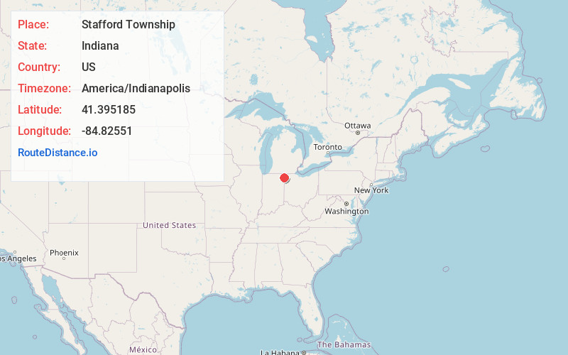
Full AddressStafford Township, IN 46721
-
Coordinates41.3951845, -84.8255097
-
LocationStafford Township , Indiana , US
-
TimezoneAmerica/Indianapolis
-
Page Views0
About Stafford Township
Stafford Township is one of fifteen townships in DeKalb County, Indiana. As of the 2020 census, its population was 276, down from 283 at the 2010 census, and it contained 121 housing units.
Nearby Places
Found 10 places within 50 miles

Stafford Center
1.0 mi
1.6 km
Stafford Center, IN 46721
Get directions
Newville
3.4 mi
5.5 km
Newville, IN 46721
Get directions
Butler
3.4 mi
5.5 km
Butler, IN 46721
Get directions
Artic
5.5 mi
8.9 km
Artic, IN 46721
Get directions

Edgerton
5.5 mi
8.9 km
Edgerton, OH 43517
Get directions
Moore
6.6 mi
10.6 km
Moore, IN 46721
Get directions
St Joe
6.8 mi
10.9 km
St Joe, IN 46785
Get directions
Mina
7.2 mi
11.6 km
Mina, St Joseph Township, OH 43517
Get directions

Hicksville
7.8 mi
12.6 km
Hicksville, OH 43526
Get directions

Spencerville
9.2 mi
14.8 km
Spencerville, IN 46788
Get directions
Location Links
Local Weather
Weather Information
Coming soon!
Location Map
Static map view of Stafford Township, Indiana
Browse Places by Distance
Places within specific distances from Stafford Township
Short Distances
Long Distances
Click any distance to see all places within that range from Stafford Township. Distances shown in miles (1 mile ≈ 1.61 kilometers).