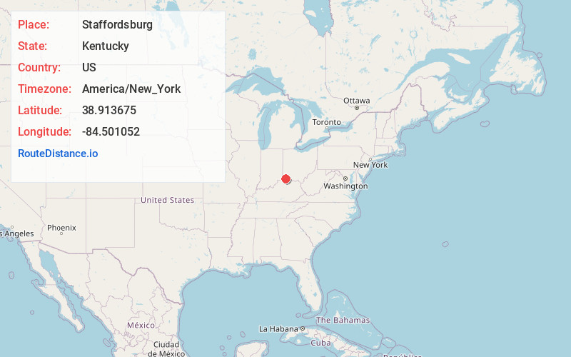
Distance to Staffordsburg, Kentucky

Calculating Your Route
Just a moment while we process your request...
Location Information
-
Full AddressStaffordsburg, KY 41051
-
Coordinates38.9136748, -84.5010521
-
LocationKentucky , US
-
TimezoneAmerica/New_York
-
Current Local Time12:56:19 AM America/New_YorkMonday, June 2, 2025
-
Page Views0
Nearby Places
Found 10 places within 50 miles

Visalia
2.7 mi
4.3 km
Visalia, KY 41015
Get directions

Independence
3.1 mi
5.0 km
Independence, KY
Get directions
Atwood
3.5 mi
5.6 km
Atwood, KY 41063
Get directions
White Villa
3.6 mi
5.8 km
White Villa, KY 41063
Get directions

Ryland Heights
3.7 mi
6.0 km
Ryland Heights, KY 41015
Get directions
Kenton
4.0 mi
6.4 km
Kenton, KY 41063
Get directions
DeCoursey Creek
4.2 mi
6.8 km
DeCoursey Creek, Kentucky 41015
Get directions
Bank Lick
4.2 mi
6.8 km
Bank Lick, KY 41094
Get directions
Ricedale
4.8 mi
7.7 km
Ricedale, KY 41051
Get directions
Claryville
5.7 mi
9.2 km
Claryville, KY 41001
Get directions
Location Links
Local Weather
Weather Information
Coming soon!
Location Map
Static map view of Staffordsburg, Kentucky
Browse Places by Distance
Places within specific distances from Staffordsburg
Short Distances
Long Distances
Click any distance to see all places within that range from Staffordsburg. Distances shown in miles (1 mile ≈ 1.61 kilometers).