Distance to Staley, Washington

Calculating Your Route
Just a moment while we process your request...
Location Information
-
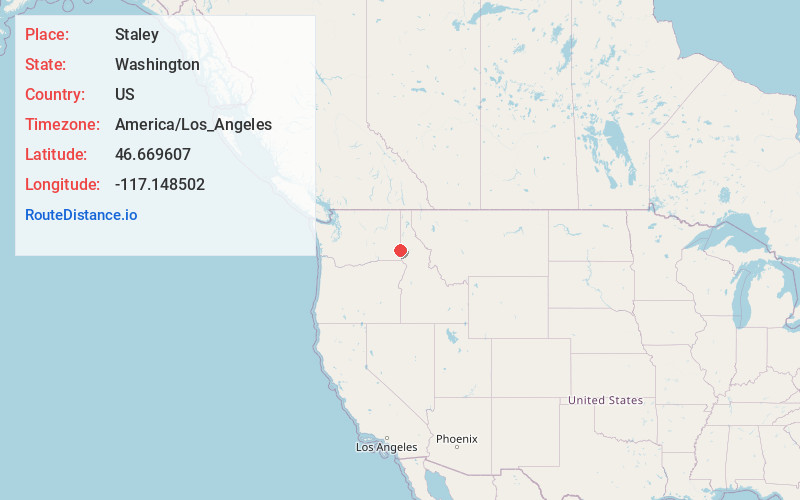
Full AddressStaley, WA 99163
-
Coordinates46.6696073, -117.148502
-
LocationStaley , Washington , US
-
TimezoneAmerica/Los_Angeles
-
Current Local Time8:39:17 AM America/Los_AngelesThursday, June 19, 2025
-
Page Views0
Nearby Places
Found 10 places within 50 miles

Pullman
4.4 mi
7.1 km
Pullman, WA 99163
Get directions

Colton
7.1 mi
11.4 km
Colton, WA 99113
Get directions

Moscow
8.3 mi
13.4 km
Moscow, ID
Get directions

Uniontown
9.5 mi
15.3 km
Uniontown, WA 99179
Get directions

Albion
9.7 mi
15.6 km
Albion, WA
Get directions
Viola
13.1 mi
21.1 km
Viola, ID 83872
Get directions

Genesee
13.4 mi
21.6 km
Genesee, ID 83832
Get directions

Palouse
17.0 mi
27.4 km
Palouse, WA 99161
Get directions

Colfax
17.8 mi
28.6 km
Colfax, WA 99111
Get directions

Clarkston
18.2 mi
29.3 km
Clarkston, WA 99403
Get directions
Location Links
Local Weather
Weather Information
Coming soon!
Location Map
Static map view of Staley, Washington
Browse Places by Distance
Places within specific distances from Staley
Short Distances
Long Distances
Click any distance to see all places within that range from Staley. Distances shown in miles (1 mile ≈ 1.61 kilometers).