Distance to Stallings, North Carolina

Calculating Your Route
Just a moment while we process your request...
Location Information
-
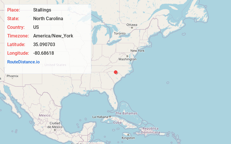
Full AddressStallings, NC
-
Coordinates35.0907026, -80.6861799
-
LocationStallings , North Carolina , US
-
TimezoneAmerica/New_York
-
Current Local Time10:39:26 AM America/New_YorkMonday, June 23, 2025
-
Website
-
Page Views0
About Stallings
Stallings is a suburban town in Union and Mecklenburg counties in the U.S. state of North Carolina. The population was 16,112 at the 2020 census, up from 13,831 in 2010.


Nearby Places
Found 10 places within 50 miles

Indian Trail
1.4 mi
2.3 km
Indian Trail, NC
Get directions

Matthews
2.8 mi
4.5 km
Matthews, NC
Get directions

Mint Hill
6.0 mi
9.7 km
Mint Hill, NC
Get directions

Monroe
10.6 mi
17.1 km
Monroe, NC
Get directions

Waxhaw
11.9 mi
19.2 km
Waxhaw, NC 28173
Get directions

Charlotte
12.5 mi
20.1 km
Charlotte, NC
Get directions

Fort Mill
15.7 mi
25.3 km
Fort Mill, SC
Get directions

Harrisburg
16.2 mi
26.1 km
Harrisburg, NC
Get directions

Rock Hill
22.5 mi
36.2 km
Rock Hill, SC
Get directions

Concord
22.8 mi
36.7 km
Concord, NC
Get directions
Location Links
Local Weather
Weather Information
Coming soon!
Location Map
Static map view of Stallings, North Carolina
Browse Places by Distance
Places within specific distances from Stallings
Short Distances
Long Distances
Click any distance to see all places within that range from Stallings. Distances shown in miles (1 mile ≈ 1.61 kilometers).