Distance to Stanards Mill, Virginia

Calculating Your Route
Just a moment while we process your request...
Location Information
-
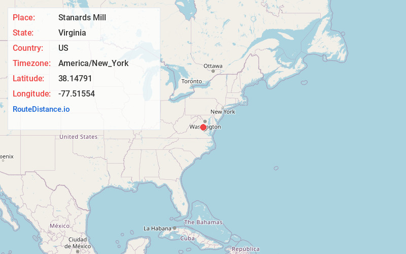
Full AddressStanards Mill, VA 22551
-
Coordinates38.1479104, -77.5155401
-
LocationVirginia , US
-
TimezoneAmerica/New_York
-
Current Local Time10:48:27 AM America/New_YorkThursday, June 12, 2025
-
Page Views0
Nearby Places
Found 10 places within 50 miles

Smiths Mill
1.7 mi
2.7 km
Smiths Mill, VA 22407
Get directions
Colemans Mill
2.2 mi
3.5 km
Colemans Mill, VA 22580
Get directions
Welchs
4.3 mi
6.9 km
Welchs, VA 22580
Get directions
Snell
4.7 mi
7.6 km
Snell, VA 22551
Get directions
Daltons
5.3 mi
8.5 km
Daltons, VA 22580
Get directions
Marye
6.0 mi
9.7 km
Marye, VA 22551
Get directions

Spotsylvania County
6.3 mi
10.1 km
Spotsylvania County, VA
Get directions
Blantons
7.0 mi
11.3 km
Blantons, VA 22580
Get directions
Fourmile Fork
7.5 mi
12.1 km
Fourmile Fork, VA 22408
Get directions
Massaponax
7.7 mi
12.4 km
Massaponax, VA 22408
Get directions
Location Links
Local Weather
Weather Information
Coming soon!
Location Map
Static map view of Stanards Mill, Virginia
Browse Places by Distance
Places within specific distances from Stanards Mill
Short Distances
Long Distances
Click any distance to see all places within that range from Stanards Mill. Distances shown in miles (1 mile ≈ 1.61 kilometers).