Distance to Stanfield, Texas

Calculating Your Route
Just a moment while we process your request...
Location Information
-
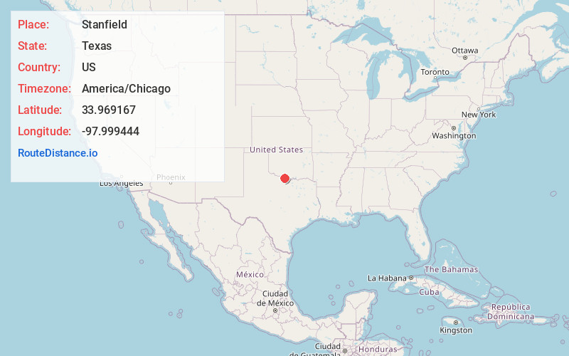
Full AddressStanfield, TX 76365
-
Coordinates33.969167, -97.999444
-
LocationStanfield , Texas , US
-
TimezoneAmerica/Chicago
-
Current Local Time8:43:58 AM America/ChicagoTuesday, June 24, 2025
-
Page Views0
About Stanfield
Stanfield is an unincorporated community in Clay County, Texas, United States. According to the Handbook of Texas, the community had a population of 15 in 2000. It is located within the Wichita Falls metropolitan area.
Nearby Places
Found 10 places within 50 miles

Ryan
4.3 mi
6.9 km
Ryan, OK 73565
Get directions

Irving
5.9 mi
9.5 km
Irving, OK 73565
Get directions
Terral
6.2 mi
10.0 km
Terral, OK 73569
Get directions
Sugden
7.9 mi
12.7 km
Sugden, OK 73565
Get directions
Hurnville
9.7 mi
15.6 km
Hurnville, TX 76365
Get directions
Fleetwood
10.0 mi
16.1 km
Fleetwood, OK 73569
Get directions
Ringgold
10.8 mi
17.4 km
Ringgold, TX
Get directions

Byers
12.9 mi
20.8 km
Byers, TX 76357
Get directions

Waurika
13.7 mi
22.0 km
Waurika, OK 73573
Get directions

Petrolia
13.7 mi
22.0 km
Petrolia, TX
Get directions
Location Links
Local Weather
Weather Information
Coming soon!
Location Map
Static map view of Stanfield, Texas
Browse Places by Distance
Places within specific distances from Stanfield
Short Distances
Long Distances
Click any distance to see all places within that range from Stanfield. Distances shown in miles (1 mile ≈ 1.61 kilometers).