Distance to Stanislaus County, California

Calculating Your Route
Just a moment while we process your request...
Location Information
-
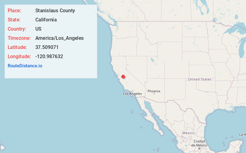
Full AddressStanislaus County, CA
-
Coordinates37.5090711, -120.9876321
-
LocationCalifornia , US
-
TimezoneAmerica/Los_Angeles
-
Current Local Time9:40:50 PM America/Los_AngelesMonday, June 2, 2025
-
Website
-
Page Views0
About Stanislaus County
Stanislaus County is a county located in the San Joaquin Valley of the U.S. state of California. As of 2023, its estimated population is 564,404. The county seat is Modesto.
Stanislaus County makes up the Modesto metropolitan statistical area.


Nearby Places
Found 10 places within 50 miles

Monterey Park Tract
1.8 mi
2.9 km
Monterey Park Tract, CA 95307
Get directions
Hatch
2.2 mi
3.5 km
Hatch, CA 95380
Get directions
Cowan
3.5 mi
5.6 km
Cowan, CA 95358
Get directions
Chemurgic
4.9 mi
7.9 km
Chemurgic, CA 95380
Get directions

Keyes
5.1 mi
8.2 km
Keyes, CA
Get directions

Ceres
6.2 mi
10.0 km
Ceres, CA
Get directions
Bret Harte
6.5 mi
10.5 km
Bret Harte, CA 95358
Get directions
Bystrom
7.6 mi
12.2 km
Bystrom, CA 95351
Get directions

Riverdale Park
7.6 mi
12.2 km
Riverdale Park, CA 95358
Get directions
Rouse
7.8 mi
12.6 km
Rouse, CA 95351
Get directions
Location Links
Local Weather
Weather Information
Coming soon!
Location Map
Static map view of Stanislaus County, California
Browse Places by Distance
Places within specific distances from Stanislaus County
Short Distances
Long Distances
Click any distance to see all places within that range from Stanislaus County. Distances shown in miles (1 mile ≈ 1.61 kilometers).