Distance to Stanley, Wisconsin

Calculating Your Route
Just a moment while we process your request...
Location Information
-
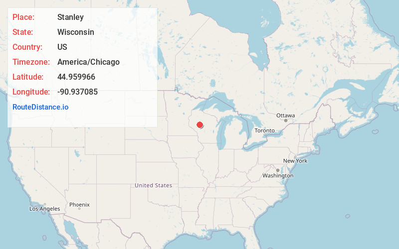
Full AddressStanley, WI 54768
-
Coordinates44.9599657, -90.9370846
-
LocationStanley , Wisconsin , US
-
TimezoneAmerica/Chicago
-
Current Local Time5:11:03 PM America/ChicagoTuesday, May 27, 2025
-
Page Views0
About Stanley
Stanley is a city in Chippewa and Clark counties in the U.S. state of Wisconsin. The population was 3,804 at the 2020 census. Of this, 3,804 were in Chippewa County, and none were in Clark County.

Nearby Places
Found 7 places within 50 miles

Chippewa Falls
22.3 mi
35.9 km
Chippewa Falls, WI 54729
Get directions

Lake Hallie
25.3 mi
40.7 km
Lake Hallie, WI
Get directions

Altoona
27.0 mi
43.5 km
Altoona, WI
Get directions

Eau Claire
29.3 mi
47.2 km
Eau Claire, WI
Get directions

Medford
31.6 mi
50.9 km
Medford, WI 54451
Get directions

Marshfield
42.6 mi
68.6 km
Marshfield, WI
Get directions

Menomonie
48.4 mi
77.9 km
Menomonie, WI 54751
Get directions
Location Links
Local Weather
Weather Information
Coming soon!
Location Map
Static map view of Stanley, Wisconsin
Browse Places by Distance
Places within specific distances from Stanley
Short Distances
Long Distances
Click any distance to see all places within that range from Stanley. Distances shown in miles (1 mile ≈ 1.61 kilometers).