Distance to Stanley, Minnesota

Calculating Your Route
Just a moment while we process your request...
Location Information
-
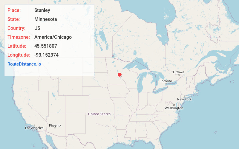
Full AddressStanley, MN 55008
-
Coordinates45.5518069, -93.152374
-
LocationStanley , Minnesota , US
-
TimezoneAmerica/Chicago
-
Current Local Time5:13:26 PM America/ChicagoSaturday, June 21, 2025
-
Page Views0
About Stanley
Stanley is an unincorporated community in Isanti Township, Isanti County, Minnesota, United States.
Stanley is located east of Cambridge at the junction of Lever Street NE and 321st Avenue NE.
Nearby is Lake Fannie, also spelled Lake Fanny.
Isanti County Roads 12 and 19; and State Highway 95 are also nearby.

Nearby Places
Found 10 places within 50 miles

Minnesota Boys Town
1.2 mi
1.9 km
Minnesota Boys Town, MN 55008
Get directions
Bodum
3.3 mi
5.3 km
Bodum, MN 55040
Get directions
Blomford
3.6 mi
5.8 km
Blomford, MN 55008
Get directions

Cambridge
3.7 mi
6.0 km
Cambridge, MN
Get directions
Stark
4.9 mi
7.9 km
Stark, MN 55032
Get directions
Weber
5.5 mi
8.9 km
Weber, MN 55056
Get directions

Isanti
6.3 mi
10.1 km
Isanti, MN 55040
Get directions

Grandy
6.4 mi
10.3 km
Grandy, MN
Get directions
Rush Point
7.7 mi
12.4 km
Rush Point, MN 55080
Get directions

North Branch
8.2 mi
13.2 km
North Branch, MN
Get directions
Location Links
Local Weather
Weather Information
Coming soon!
Location Map
Static map view of Stanley, Minnesota
Browse Places by Distance
Places within specific distances from Stanley
Short Distances
Long Distances
Click any distance to see all places within that range from Stanley. Distances shown in miles (1 mile ≈ 1.61 kilometers).