Distance to Stanton, North Dakota

Calculating Your Route
Just a moment while we process your request...
Location Information
-
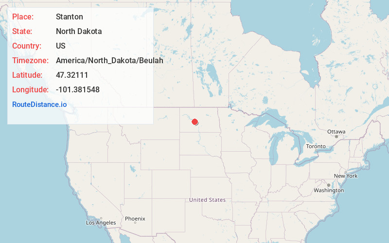
Full AddressStanton, ND 58571
-
Coordinates47.3211099, -101.3815477
-
LocationStanton , North Dakota , US
-
TimezoneAmerica/North_Dakota/Beulah
-
Current Local Time8:03:18 PM America/North_Dakota/BeulahWednesday, June 18, 2025
-
Page Views0
About Stanton
Stanton is a city in Mercer County, North Dakota, United States. It is the county seat of Mercer County. The population was 368 at the 2020 census. Stanton was founded in 1883 and became the county seat when Mercer County organized in 1884.


Nearby Places
Found 10 places within 50 miles

Hazen
11.4 mi
18.3 km
Hazen, ND 58545
Get directions

Underwood
14.8 mi
23.8 km
Underwood, ND 58576
Get directions

Washburn
16.7 mi
26.9 km
Washburn, ND 58577
Get directions

Beulah
19.0 mi
30.6 km
Beulah, ND 58523
Get directions

Garrison
22.9 mi
36.9 km
Garrison, ND 58540
Get directions

Wilton
30.2 mi
48.6 km
Wilton, ND 58579
Get directions

New Salem
32.9 mi
52.9 km
New Salem, ND 58563
Get directions

Glen Ullin
40.8 mi
65.7 km
Glen Ullin, ND 58631
Get directions

Mandan
41.3 mi
66.5 km
Mandan, ND 58554
Get directions

Hebron
42.7 mi
68.7 km
Hebron, ND 58638
Get directions
Location Links
Local Weather
Weather Information
Coming soon!
Location Map
Static map view of Stanton, North Dakota
Browse Places by Distance
Places within specific distances from Stanton
Short Distances
Long Distances
Click any distance to see all places within that range from Stanton. Distances shown in miles (1 mile ≈ 1.61 kilometers).