Distance to Stanton, Michigan

Calculating Your Route
Just a moment while we process your request...
Location Information
-
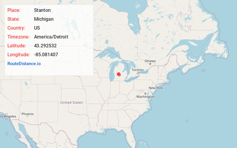
Full AddressStanton, MI 48888
-
Coordinates43.2925317, -85.0814074
-
LocationStanton , Michigan , US
-
TimezoneAmerica/Detroit
-
Current Local Time5:54:59 AM America/DetroitSaturday, June 21, 2025
-
Page Views0
About Stanton
Stanton is a city in the U.S. state of Michigan. The population was 1,348 at the 2020 census. It is the county seat of Montcalm County.


Nearby Places
Found 10 places within 50 miles

Edmore
8.3 mi
13.4 km
Edmore, MI 48829
Get directions

Greenville
11.7 mi
18.8 km
Greenville, MI 48838
Get directions

Belding
15.4 mi
24.8 km
Belding, MI 48809
Get directions

Howard City
20.7 mi
33.3 km
Howard City, MI 49329
Get directions

Ionia
21.1 mi
34.0 km
Ionia, MI 48846
Get directions

Alma
22.0 mi
35.4 km
Alma, MI 48801
Get directions

Canadian Lakes
22.7 mi
36.5 km
Canadian Lakes, MI
Get directions

Ithaca
23.8 mi
38.3 km
Ithaca, MI 48847
Get directions

Cedar Springs
24.1 mi
38.8 km
Cedar Springs, MI 49319
Get directions

Lake Isabella
24.2 mi
38.9 km
Lake Isabella, MI 48893
Get directions
Location Links
Local Weather
Weather Information
Coming soon!
Location Map
Static map view of Stanton, Michigan
Browse Places by Distance
Places within specific distances from Stanton
Short Distances
Long Distances
Click any distance to see all places within that range from Stanton. Distances shown in miles (1 mile ≈ 1.61 kilometers).