Distance to Staples, Texas

Calculating Your Route
Just a moment while we process your request...
Location Information
-
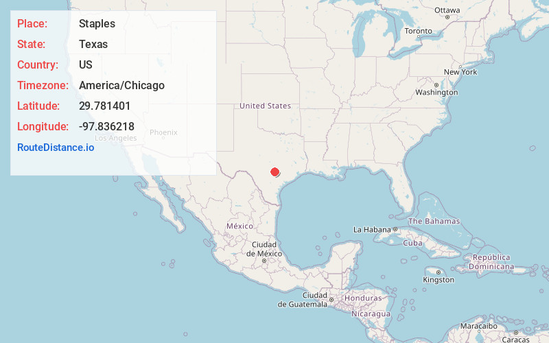
Full AddressStaples, TX
-
Coordinates29.7814011, -97.8362177
-
LocationStaples , Texas , US
-
TimezoneAmerica/Chicago
-
Current Local Time5:07:09 AM America/ChicagoFriday, June 20, 2025
-
Page Views0
About Staples
Staples is a city in northeastern Guadalupe County, Texas, United States. In an election held on May 10, 2008, its residents voted to incorporate the community as a city. A total of 125 votes were cast, with 87 in favor of incorporation and 38 against.
Nearby Places
Found 10 places within 50 miles

Martindale
4.4 mi
7.1 km
Martindale, TX 78655
Get directions

Redwood
4.9 mi
7.9 km
Redwood, TX 78666
Get directions

San Marcos
9.4 mi
15.1 km
San Marcos, TX
Get directions

Geronimo
11.3 mi
18.2 km
Geronimo, TX 78155
Get directions

Lockhart
12.3 mi
19.8 km
Lockhart, TX 78644
Get directions
Uhland
12.5 mi
20.1 km
Uhland, TX
Get directions

Luling
13.3 mi
21.4 km
Luling, TX 78648
Get directions

Kyle
14.6 mi
23.5 km
Kyle, TX
Get directions

Lake Dunlap
15.6 mi
25.1 km
Lake Dunlap, Texas 78130
Get directions

Seguin
16.6 mi
26.7 km
Seguin, TX 78155
Get directions
Location Links
Local Weather
Weather Information
Coming soon!
Location Map
Static map view of Staples, Texas
Browse Places by Distance
Places within specific distances from Staples
Short Distances
Long Distances
Click any distance to see all places within that range from Staples. Distances shown in miles (1 mile ≈ 1.61 kilometers).