Distance to Stapleton, Nebraska

Calculating Your Route
Just a moment while we process your request...
Location Information
-
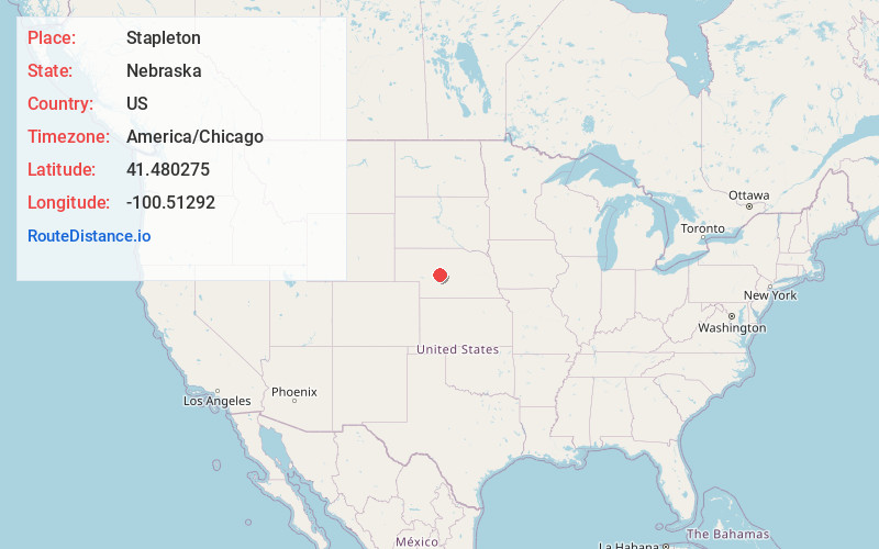
Full AddressStapleton, NE 69163
-
Coordinates41.4802753, -100.5129196
-
LocationStapleton , Nebraska , US
-
TimezoneAmerica/Chicago
-
Current Local Time6:12:19 AM America/ChicagoWednesday, June 18, 2025
-
Page Views0
About Stapleton
Stapleton is a village in and the county seat of Logan County, Nebraska, United States. The population was 267 at the 2020 census.
Stapleton is part of the North Platte, Nebraska Micropolitan Statistical Area.


Nearby Places
Found 9 places within 50 miles

Arnold
17.0 mi
27.4 km
Arnold, NE 69120
Get directions

North Platte
26.8 mi
43.1 km
North Platte, NE 69101
Get directions
Brady
32.5 mi
52.3 km
Brady, NE 69123
Get directions

Callaway
33.3 mi
53.6 km
Callaway, NE 68825
Get directions

Hershey
33.8 mi
54.4 km
Hershey, NE
Get directions

Sutherland
38.9 mi
62.6 km
Sutherland, NE 69165
Get directions

Gothenburg
42.3 mi
68.1 km
Gothenburg, NE 69138
Get directions

Broken Bow
45.5 mi
73.2 km
Broken Bow, NE 68822
Get directions

Mullen
47.5 mi
76.4 km
Mullen, NE 69152
Get directions
Location Links
Local Weather
Weather Information
Coming soon!
Location Map
Static map view of Stapleton, Nebraska
Browse Places by Distance
Places within specific distances from Stapleton
Short Distances
Long Distances
Click any distance to see all places within that range from Stapleton. Distances shown in miles (1 mile ≈ 1.61 kilometers).