Distance to Star, Mississippi

Calculating Your Route
Just a moment while we process your request...
Location Information
-
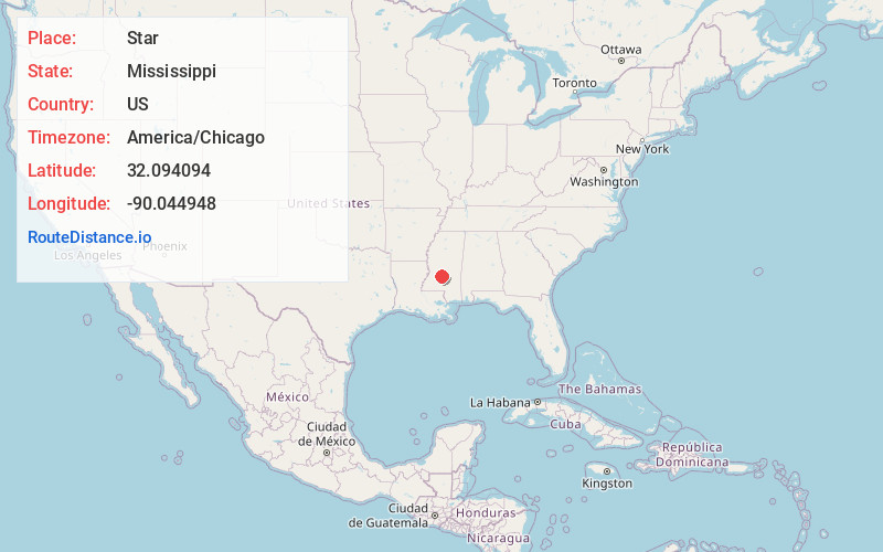
Full AddressStar, MS
-
Coordinates32.0940943, -90.0449482
-
LocationStar , Mississippi , US
-
TimezoneAmerica/Chicago
-
Current Local Time11:02:30 AM America/ChicagoTuesday, June 3, 2025
-
Page Views0
About Star
Star is an unincorporated community in Rankin County, Mississippi, southeast of Jackson. Its ZIP code is 39167, area code is 601 and local exchange is 845. The elevation is 423 feet. Star appears on the Star U.S. Geological Survey Map. The community is part of the Jackson Metropolitan Statistical Area.
Nearby Places
Found 10 places within 50 miles

Florence
6.2 mi
10.0 km
Florence, MS
Get directions

Braxton
6.5 mi
10.5 km
Braxton, MS 39044
Get directions
Cato
9.8 mi
15.8 km
Cato, MS 39044
Get directions

D'Lo
11.3 mi
18.2 km
D'Lo, MS
Get directions

Richland
12.3 mi
19.8 km
Richland, MS
Get directions

Pearl
13.0 mi
20.9 km
Pearl, MS
Get directions

Brandon
13.0 mi
20.9 km
Brandon, MS
Get directions

Byram
13.1 mi
21.1 km
Byram, MS
Get directions

Mendenhall
13.7 mi
22.0 km
Mendenhall, MS 39114
Get directions

Terry
14.6 mi
23.5 km
Terry, MS 39170
Get directions
Location Links
Local Weather
Weather Information
Coming soon!
Location Map
Static map view of Star, Mississippi
Browse Places by Distance
Places within specific distances from Star
Short Distances
Long Distances
Click any distance to see all places within that range from Star. Distances shown in miles (1 mile ≈ 1.61 kilometers).