Distance to Star Point, Georgia

Calculating Your Route
Just a moment while we process your request...
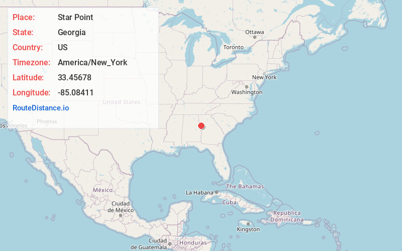
Location Information
-
Full AddressStar Point, GA 30116
-
Coordinates33.45678, -85.0841102
-
LocationStar Point , Georgia , US
-
TimezoneAmerica/New_York
-
Current Local Time1:02:02 AM America/New_YorkSaturday, June 21, 2025
-
Page Views0
Nearby Places
Found 10 places within 50 miles

Lowell
2.4 mi
3.9 km
Lowell, GA 30116
Get directions
Roopville
2.7 mi
4.3 km
Roopville, GA 30170
Get directions
Glenloch
3.3 mi
5.3 km
Glenloch, GA 30217
Get directions
Yellow Dirt
3.9 mi
6.3 km
Yellow Dirt, GA 30217
Get directions
Centralhatchee
6.2 mi
10.0 km
Centralhatchee, GA 30217
Get directions
Clem
6.4 mi
10.3 km
Clem, GA 30116
Get directions
Roosterville
6.8 mi
10.9 km
Roosterville, GA 30170
Get directions
Tyus
6.8 mi
10.9 km
Tyus, GA 30108
Get directions
Barkers Crossroads
7.6 mi
12.2 km
Barkers Crossroads, GA 30217
Get directions
Farmers High
8.0 mi
12.9 km
Farmers High, GA 30117
Get directions
Location Links
Local Weather
Weather Information
Coming soon!
Location Map
Static map view of Star Point, Georgia
Browse Places by Distance
Places within specific distances from Star Point
Short Distances
Long Distances
Click any distance to see all places within that range from Star Point. Distances shown in miles (1 mile ≈ 1.61 kilometers).