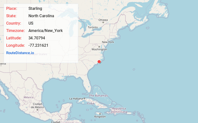
Distance to Starling, North Carolina

Calculating Your Route
Just a moment while we process your request...
Location Information
-
Full AddressStarling, NC 28539
-
Coordinates34.7079397, -77.2316211
-
LocationNorth Carolina , US
-
TimezoneAmerica/New_York
-
Current Local Time2:01:12 PM America/New_YorkSaturday, May 31, 2025
-
Page Views0
Nearby Places
Found 10 places within 50 miles

Hubert
0.9 mi
1.4 km
Hubert, NC 28539
Get directions

Piney Green
5.2 mi
8.4 km
Piney Green, NC
Get directions

Swansboro
6.5 mi
10.5 km
Swansboro, NC
Get directions

Kuhns
8.0 mi
12.9 km
Kuhns, NC 28582
Get directions

Peletier
8.5 mi
13.7 km
Peletier, NC 28584
Get directions

Cedar Point
9.2 mi
14.8 km
Cedar Point, NC 28584
Get directions
Pumpkin Center
9.3 mi
15.0 km
Pumpkin Center, NC 28546
Get directions

Cape Carteret
9.6 mi
15.4 km
Cape Carteret, NC
Get directions
Deppe
10.1 mi
16.3 km
Deppe, NC 28555
Get directions
Hawkside
10.6 mi
17.1 km
Hawkside, Jacksonville, NC 28546
Get directions
Location Links
Local Weather
Weather Information
Coming soon!
Location Map
Static map view of Starling, North Carolina
Browse Places by Distance
Places within specific distances from Starling
Short Distances
Long Distances
Click any distance to see all places within that range from Starling. Distances shown in miles (1 mile ≈ 1.61 kilometers).