Distance to Starr School, Montana

Calculating Your Route
Just a moment while we process your request...
Location Information
-
Full AddressStarr School, MT
-
Coordinates48.5891395, -113.1406473
-
LocationStarr School , Montana , US
-
TimezoneAmerica/Denver
-
Current Local Time6:12:46 PM America/DenverMonday, June 16, 2025
-
Page Views0
About Starr School
Starr School is a census-designated place in Glacier County, Montana, United States. The population was 252 at the 2010 census.
Nearby Places
Found 10 places within 50 miles

North Browning
6.1 mi
9.8 km
North Browning, MT 59417
Get directions

Browning
6.2 mi
10.0 km
Browning, MT 59417
Get directions

South Browning
6.5 mi
10.5 km
South Browning, MT 59417
Get directions

St Mary
17.0 mi
27.4 km
St Mary, MT
Get directions

Babb
23.1 mi
37.2 km
Babb, MT 59411
Get directions

Heart Butte
25.3 mi
40.7 km
Heart Butte, MT
Get directions

Cut Bank
37.3 mi
60.0 km
Cut Bank, MT 59427
Get directions

Coram
43.1 mi
69.4 km
Coram, MT 59912
Get directions

Martin City
43.3 mi
69.7 km
Martin City, MT 59926
Get directions

Hungry Horse
44.4 mi
71.5 km
Hungry Horse, MT
Get directions
Location Links
Local Weather
Weather Information
Coming soon!
Location Map
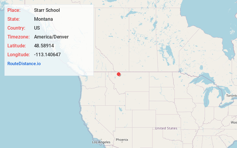
Static map view of Starr School, Montana
Browse Places by Distance
Places within specific distances from Starr School
Short Distances
Long Distances
Click any distance to see all places within that range from Starr School. Distances shown in miles (1 mile ≈ 1.61 kilometers).