Distance to Starrs Mill, Georgia

Calculating Your Route
Just a moment while we process your request...
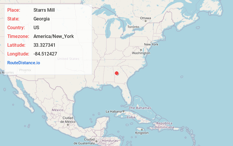
Location Information
-
Full AddressStarrs Mill, GA 30276
-
Coordinates33.3273406, -84.5124267
-
LocationGeorgia , US
-
TimezoneAmerica/New_York
-
Current Local Time2:24:44 PM America/New_YorkTuesday, June 24, 2025
-
Page Views0
About Starrs Mill
Starr's Mill is an unincorporated community in Fayette County, Georgia, United States. It is centered at Georgia State Route 85 and Georgia State Route 74. It formed around a grist mill of the same name.


Nearby Places
Found 10 places within 50 miles

Senoia
2.9 mi
4.7 km
Senoia, GA 30276
Get directions

Brooks
4.0 mi
6.4 km
Brooks, GA 30205
Get directions

Clover
4.9 mi
7.9 km
Clover, Peachtree City, GA 30269
Get directions
Digbey
5.0 mi
8.0 km
Digbey, GA 30205
Get directions

Woolsey
6.3 mi
10.1 km
Woolsey, GA 30215
Get directions
Lowry
6.8 mi
10.9 km
Lowry, GA 30215
Get directions
Turin
7.1 mi
11.4 km
Turin, GA
Get directions
Elders Mill
7.6 mi
12.2 km
Elders Mill, GA 30276
Get directions
Haralson
7.8 mi
12.6 km
Haralson, GA 30276
Get directions

Sharpsburg
7.9 mi
12.7 km
Sharpsburg, GA
Get directions
Location Links
Local Weather
Weather Information
Coming soon!
Location Map
Static map view of Starrs Mill, Georgia
Browse Places by Distance
Places within specific distances from Starrs Mill
Short Distances
Long Distances
Click any distance to see all places within that range from Starrs Mill. Distances shown in miles (1 mile ≈ 1.61 kilometers).