Distance to State Bridge, New York

Calculating Your Route
Just a moment while we process your request...
Location Information
-
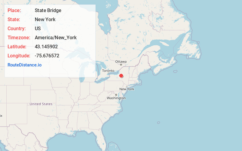
Full AddressState Bridge, Verona, NY 13054
-
Coordinates43.1459019, -75.6765719
-
LocationVerona , New York , US
-
TimezoneAmerica/New_York
-
Current Local Time6:52:45 AM America/New_YorkSaturday, June 21, 2025
-
Page Views0
Nearby Places
Found 10 places within 50 miles

Durhamville
1.7 mi
2.7 km
Durhamville, NY
Get directions

South Bay
3.7 mi
6.0 km
South Bay, NY 13032
Get directions
Sconondoa Creek
4.1 mi
6.6 km
Sconondoa Creek, New York 13421
Get directions
Stacy Basin
4.3 mi
6.9 km
Stacy Basin, NY 13054
Get directions

Sylvan Beach
4.4 mi
7.1 km
Sylvan Beach, NY
Get directions
Verona Station
4.6 mi
7.4 km
Verona Station, Verona, NY 13478
Get directions
Oneida Lake Beach East
4.6 mi
7.4 km
Oneida Lake Beach East, Lenox, NY 13032
Get directions
Oneida Castle
4.9 mi
7.9 km
Oneida Castle, NY 13421
Get directions
Wampsville
5.1 mi
8.2 km
Wampsville, NY
Get directions
Whitelaw
5.8 mi
9.3 km
Whitelaw, NY 13032
Get directions
Location Links
Local Weather
Weather Information
Coming soon!
Location Map
Static map view of State Bridge, New York
Browse Places by Distance
Places within specific distances from State Bridge
Short Distances
Long Distances
Click any distance to see all places within that range from State Bridge. Distances shown in miles (1 mile ≈ 1.61 kilometers).