Distance to State Hill, Pennsylvania

Calculating Your Route
Just a moment while we process your request...
Location Information
-
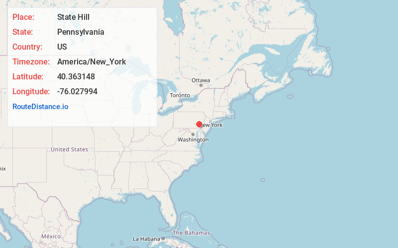
Full AddressState Hill, Lower Heidelberg Township, PA 19608
-
Coordinates40.3631482, -76.0279939
-
LocationLower Heidelberg Township , Pennsylvania , US
-
TimezoneAmerica/New_York
-
Current Local Time10:54:16 AM America/New_YorkThursday, June 19, 2025
-
Page Views0
About State Hill
State Hill is an unincorporated community that is located in Lower Heidelberg Township, Pennsylvania in Berks County, Pennsylvania.
Nearby Places
Found 10 places within 50 miles

Tulpehocken Creek
1.8 mi
2.9 km
Tulpehocken Creek, Pennsylvania
Get directions

Lower Heidelberg Township
1.9 mi
3.1 km
Lower Heidelberg Township, PA
Get directions

Spring Ridge
2.1 mi
3.4 km
Spring Ridge, PA 19610
Get directions
Whitfield
2.2 mi
3.5 km
Whitfield, PA
Get directions

Bern Township
2.6 mi
4.2 km
Bern Township, PA
Get directions

Sinking Spring
2.6 mi
4.2 km
Sinking Spring, PA 19608
Get directions
Colony Park
2.7 mi
4.3 km
Colony Park, PA 19610
Get directions
Leinbachs
2.7 mi
4.3 km
Leinbachs, PA 19533
Get directions
West Lawn
2.9 mi
4.7 km
West Lawn, PA 19609
Get directions
Springmont
2.9 mi
4.7 km
Springmont, PA
Get directions
Location Links
Local Weather
Weather Information
Coming soon!
Location Map
Static map view of State Hill, Pennsylvania
Browse Places by Distance
Places within specific distances from State Hill
Short Distances
Long Distances
Click any distance to see all places within that range from State Hill. Distances shown in miles (1 mile ≈ 1.61 kilometers).