Distance to State Line, Pennsylvania

Calculating Your Route
Just a moment while we process your request...
Location Information
-
Full AddressState Line, PA
-
Coordinates39.7314193, -77.7248688
-
LocationState Line , Pennsylvania , US
-
TimezoneAmerica/New_York
-
Current Local Time1:48:42 AM America/New_YorkWednesday, May 21, 2025
-
Page Views0
About State Line
State Line is an unincorporated community and census-designated place in Antrim Township, Franklin County, Pennsylvania, United States. It is next to the Maryland state line along Interstate 81 and U.S. Route 11 between Hagerstown, Maryland, and Greencastle. As of the 2020 census the population was 2,804.


Nearby Places
Found 10 places within 50 miles

Orchard Hills
2.9 mi
4.7 km
Orchard Hills, Fountainhead-Orchard Hills, MD 21742
Get directions

Greencastle
4.1 mi
6.6 km
Greencastle, PA 17225
Get directions

Hagerstown
6.2 mi
10.0 km
Hagerstown, MD
Get directions

Robinwood
7.5 mi
12.1 km
Robinwood, MD
Get directions
Halfway
7.8 mi
12.6 km
Halfway, MD
Get directions

Waynesboro
8.0 mi
12.9 km
Waynesboro, PA 17268
Get directions

Quincy
9.4 mi
15.1 km
Quincy, PA 17268
Get directions
St James
11.8 mi
19.0 km
St James, MD
Get directions

St Thomas
13.4 mi
21.6 km
St Thomas, PA 17252
Get directions
Old Forge Picnic Area
13.6 mi
21.9 km
Old Forge Picnic Area, Quincy Township, PA 17268
Get directions
Location Links
Local Weather
Weather Information
Coming soon!
Location Map
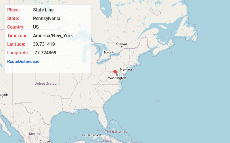
Static map view of State Line, Pennsylvania
Browse Places by Distance
Places within specific distances from State Line
Short Distances
Long Distances
Click any distance to see all places within that range from State Line. Distances shown in miles (1 mile ≈ 1.61 kilometers).