Distance to State Line City, Indiana

Calculating Your Route
Just a moment while we process your request...
Location Information
-
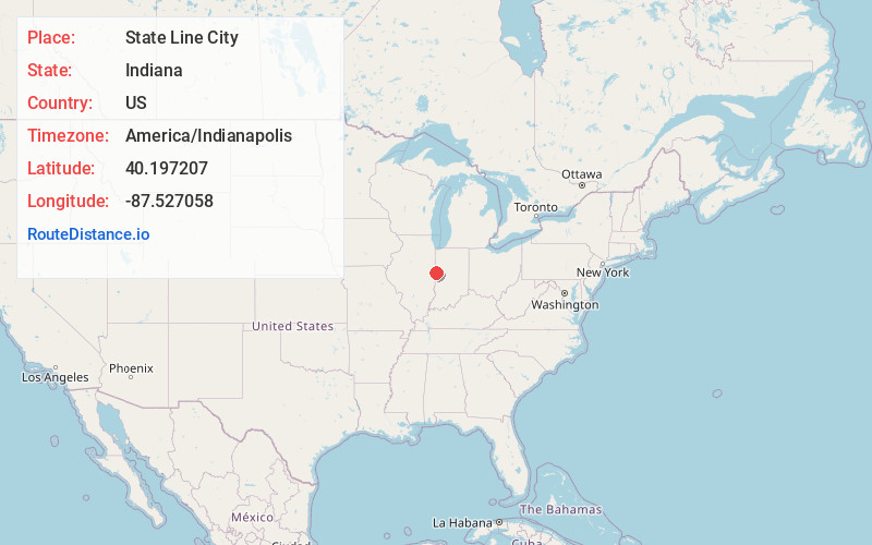
Full AddressState Line City, IN
-
Coordinates40.1972073, -87.5270582
-
LocationState Line City , Indiana , US
-
TimezoneAmerica/Indianapolis
-
Page Views0
About State Line City
State Line City is a town in Kent Township, Warren County, Indiana, United States, situated along the state's boundary with Illinois. As of the 2020 census, the population was 120.


Nearby Places
Found 10 places within 50 miles

Foster
4.6 mi
7.4 km
Foster, IN 47932
Get directions
Bismarck
6.3 mi
10.1 km
Bismarck, IL
Get directions

Danville
7.4 mi
11.9 km
Danville, IL
Get directions

Covington
8.0 mi
12.9 km
Covington, IN 47932
Get directions
Alvin
8.8 mi
14.2 km
Alvin, IL 61811
Get directions
West Lebanon
9.0 mi
14.5 km
West Lebanon, IN 47991
Get directions

Tilton
9.5 mi
15.3 km
Tilton, IL
Get directions
Belgium
10.8 mi
17.4 km
Belgium, IL
Get directions
Perrysville
11.2 mi
18.0 km
Perrysville, IN 47974
Get directions
Pence
11.4 mi
18.3 km
Pence, IN 47993
Get directions
Location Links
Local Weather
Weather Information
Coming soon!
Location Map
Static map view of State Line City, Indiana
Browse Places by Distance
Places within specific distances from State Line City
Short Distances
Long Distances
Click any distance to see all places within that range from State Line City. Distances shown in miles (1 mile ≈ 1.61 kilometers).