Distance to State Line, Mississippi

Calculating Your Route
Just a moment while we process your request...
Location Information
-
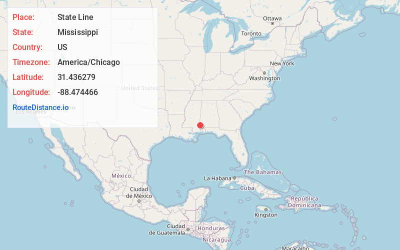
Full AddressState Line, MS
-
Coordinates31.4362794, -88.4744659
-
LocationState Line , Mississippi , US
-
TimezoneAmerica/Chicago
-
Current Local Time12:27:17 AM America/ChicagoMonday, June 30, 2025
-
Page Views0
About State Line
State Line is a town in Greene and Wayne counties, Mississippi, in the United States. The population was 452 at the 2020 census.


Nearby Places
Found 10 places within 50 miles

Waynesboro
19.3 mi
31.1 km
Waynesboro, MS 39367
Get directions

Leakesville
20.0 mi
32.2 km
Leakesville, MS
Get directions

Citronelle
28.0 mi
45.1 km
Citronelle, AL 36522
Get directions

Richton
28.1 mi
45.2 km
Richton, MS 39476
Get directions

Leroy
30.0 mi
48.3 km
Leroy, AL 36548
Get directions

Beaumont
32.1 mi
51.7 km
Beaumont, MS 39423
Get directions

Jackson
34.6 mi
55.7 km
Jackson, AL 36545
Get directions

Lucedale
36.0 mi
57.9 km
Lucedale, MS 39452
Get directions

Mt Vernon
36.5 mi
58.7 km
Mt Vernon, AL 36560
Get directions

Laurel
42.5 mi
68.4 km
Laurel, MS
Get directions
Location Links
Local Weather
Weather Information
Coming soon!
Location Map
Static map view of State Line, Mississippi
Browse Places by Distance
Places within specific distances from State Line
Short Distances
Long Distances
Click any distance to see all places within that range from State Line. Distances shown in miles (1 mile ≈ 1.61 kilometers).