Distance to State of Rio Grande do Sul, State of Rio Grande do Sul

Calculating Your Route
Just a moment while we process your request...
Location Information
-
Full AddressState of Rio Grande do Sul, Brazil
-
Coordinates-29.3646459, -51.6657692
-
LocationState of Rio Grande do Sul , BR
-
TimezoneAmerica/Sao_Paulo
-
Current Local Time10:47:12 PM America/Sao_PauloSaturday, May 31, 2025
-
Website
-
Page Views0
About State of Rio Grande do Sul
Rio Grande do Sul is Brazil's southernmost state, bordering Argentina and Uruguay. In its northeast, the mountainous Serra Gaucha is home to the Vale dos Vinhedos wine region and includes German-style resort towns like Gramado and Canela, known for picturesque natural settings. Porto Alegre, the capital, is a major port with classic structures like the Public Market and Metropolitan Cathedral in its historic center.


Location Links
Local Weather
Weather Information
Coming soon!
Location Map
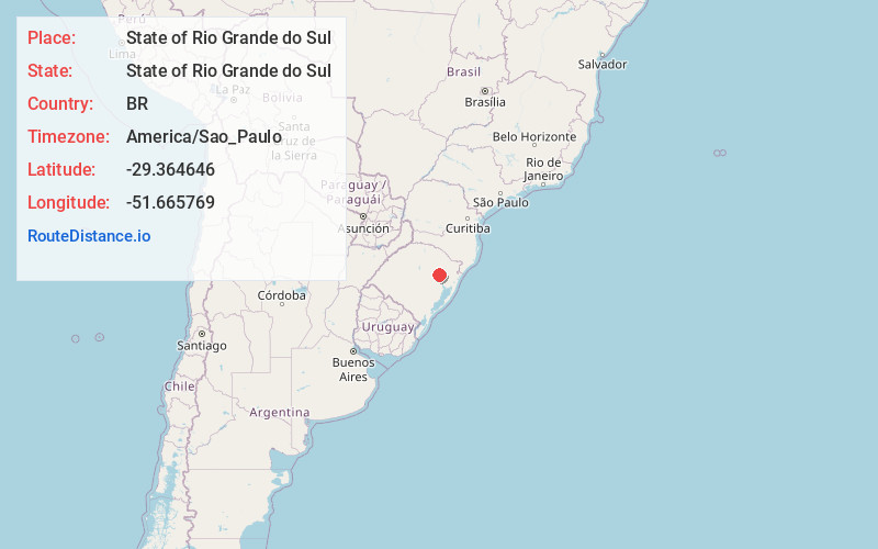
Static map view of State of Rio Grande do Sul, State of Rio Grande do Sul
Browse Places by Distance
Places within specific distances from State of Rio Grande do Sul
Short Distances
Long Distances
Click any distance to see all places within that range from State of Rio Grande do Sul. Distances shown in miles (1 mile ≈ 1.61 kilometers).