Distance to State Park Place, Illinois

Calculating Your Route
Just a moment while we process your request...
Location Information
-
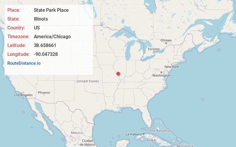
Full AddressState Park Place, IL 62234
-
Coordinates38.6586606, -90.0473278
-
LocationState Park Place , Illinois , US
-
TimezoneAmerica/Chicago
-
Current Local Time12:52:19 PM America/ChicagoSaturday, May 31, 2025
-
Page Views0
About State Park Place
State Park Place is an unincorporated community in Madison and St. Clair counties, Illinois, United States. State Park Place borders Collinsville to the east and Cahokia Mounds State Historic Site to the west.
Nearby Places
Found 10 places within 50 miles

Exermont
0.7 mi
1.1 km
Exermont, Fairmont City, IL 62234
Get directions

Caseyville
1.9 mi
3.1 km
Caseyville, IL
Get directions

Fairmont City
3.0 mi
4.8 km
Fairmont City, IL
Get directions

Collinsville
3.5 mi
5.6 km
Collinsville, IL
Get directions
Moellenbrocks
3.6 mi
5.8 km
Moellenbrocks, Pontoon Beach, IL 62040
Get directions

Horseshoe Lake
3.9 mi
6.3 km
Horseshoe Lake, Illinois
Get directions
Oak Hills
3.9 mi
6.3 km
Oak Hills, Caseyville Township, IL 62232
Get directions
Stallings
4.6 mi
7.4 km
Stallings, Nameoki Township, IL 62040
Get directions

Pontoon Beach
5.2 mi
8.4 km
Pontoon Beach, IL
Get directions
Lumaghi Heights
5.4 mi
8.7 km
Lumaghi Heights, IL 62234
Get directions
Location Links
Local Weather
Weather Information
Coming soon!
Location Map
Static map view of State Park Place, Illinois
Browse Places by Distance
Places within specific distances from State Park Place
Short Distances
Long Distances
Click any distance to see all places within that range from State Park Place. Distances shown in miles (1 mile ≈ 1.61 kilometers).