Distance to and from State Rd, North Carolina
State Rd, NC 28676
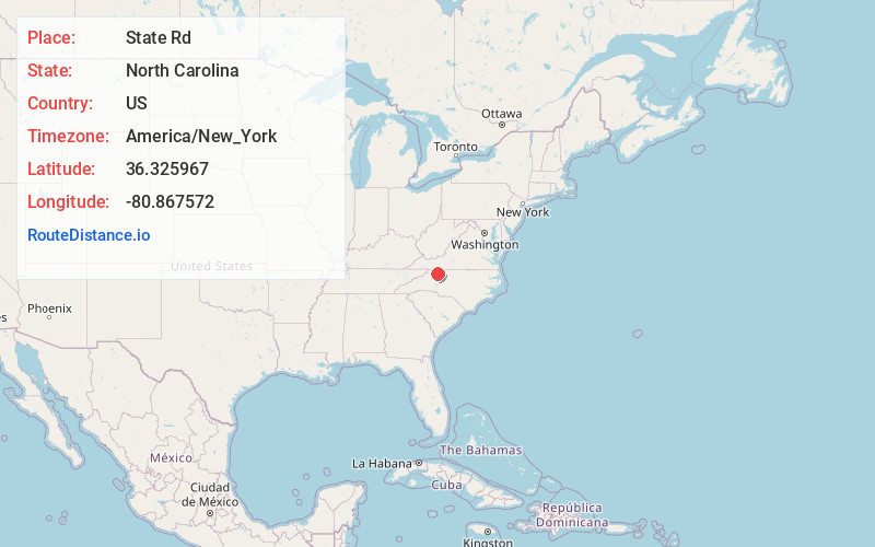
State Rd
North Carolina
US
America/New_York
Location Information
-
Full AddressState Rd, NC 28676
-
Coordinates36.3259668, -80.8675723
-
LocationState Rd , North Carolina , US
-
TimezoneAmerica/New_York
-
Current Local Time3:56:31 AM America/New_YorkSunday, May 4, 2025
-
Page Views0
Directions to Nearest Cities
About State Rd
State Road is an unincorporated community located in the Bryan Township of Surry County, North Carolina and part of Edwards III Township in eastern Wilkes County, North Carolina, United States. As of the 2020 census, the State Road postal district had a total population of 6,022.
Nearby Places
Found 10 places within 50 miles

Pleasant Ridge
1.2 mi
1.9 km
Pleasant Ridge, NC 28676
Get directions
Mountain Park
3.4 mi
5.5 km
Mountain Park, NC 28676
Get directions
Union Hill
5.4 mi
8.7 km
Union Hill, NC 27017
Get directions

Elkin
5.7 mi
9.2 km
Elkin, NC
Get directions

Jonesville
6.1 mi
9.8 km
Jonesville, NC 28642
Get directions
Burch
6.6 mi
10.6 km
Burch, NC 28621
Get directions
Lomax
7.8 mi
12.6 km
Lomax, NC 28669
Get directions

Devotion
7.9 mi
12.7 km
Devotion, NC 27017
Get directions

Roaring Gap
8.4 mi
13.5 km
Roaring Gap, NC 28668
Get directions

Ronda
8.5 mi
13.7 km
Ronda, NC 28670
Get directions
Pleasant Ridge
1.2 mi
1.9 km
Pleasant Ridge, NC 28676
Mountain Park
3.4 mi
5.5 km
Mountain Park, NC 28676
Union Hill
5.4 mi
8.7 km
Union Hill, NC 27017
Elkin
5.7 mi
9.2 km
Elkin, NC
Jonesville
6.1 mi
9.8 km
Jonesville, NC 28642
Burch
6.6 mi
10.6 km
Burch, NC 28621
Lomax
7.8 mi
12.6 km
Lomax, NC 28669
Devotion
7.9 mi
12.7 km
Devotion, NC 27017
Roaring Gap
8.4 mi
13.5 km
Roaring Gap, NC 28668
Ronda
8.5 mi
13.7 km
Ronda, NC 28670
Location Links
Local Weather
Weather Information
Coming soon!
Location Map
Static map view of State Rd, North Carolina
Browse Places by Distance
Places within specific distances from State Rd
Short Distances
Long Distances
Click any distance to see all places within that range from State Rd. Distances shown in miles (1 mile ≈ 1.61 kilometers).