Distance to Stateburg, South Carolina

Calculating Your Route
Just a moment while we process your request...
Location Information
-
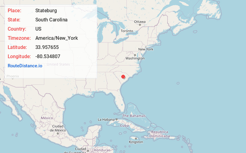
Full AddressStateburg, SC
-
Coordinates33.9576546, -80.5348069
-
LocationStateburg , South Carolina , US
-
TimezoneAmerica/New_York
-
Current Local Time9:25:43 PM America/New_YorkSunday, May 25, 2025
-
Page Views0
About Stateburg
Stateburg is a census-designated place in the High Hills of Santee in Sumter County, South Carolina, United States. The population was 1,380 at the 2010 census. It is included in the Sumter, South Carolina Metropolitan Statistical Area. Stateburg is located within the larger Stateburg Historic District.

Nearby Places
Found 10 places within 50 miles

Cherryvale
4.4 mi
7.1 km
Cherryvale, SC 29154
Get directions
Wedgefield
5.2 mi
8.4 km
Wedgefield, SC 29168
Get directions

Dalzell
7.3 mi
11.7 km
Dalzell, SC
Get directions

Sumter
11.4 mi
18.3 km
Sumter, SC
Get directions
Privateer
12.6 mi
20.3 km
Privateer, SC
Get directions
Lakewood
13.1 mi
21.1 km
Lakewood, SC 29150
Get directions

Hopkins
20.0 mi
32.2 km
Hopkins, SC 29061
Get directions

Camden
20.4 mi
32.8 km
Camden, SC 29020
Get directions

Lugoff
20.6 mi
33.2 km
Lugoff, SC
Get directions

Elgin
20.9 mi
33.6 km
Elgin, SC 29045
Get directions
Location Links
Local Weather
Weather Information
Coming soon!
Location Map
Static map view of Stateburg, South Carolina
Browse Places by Distance
Places within specific distances from Stateburg
Short Distances
Long Distances
Click any distance to see all places within that range from Stateburg. Distances shown in miles (1 mile ≈ 1.61 kilometers).