Distance to Staton, North Carolina

Calculating Your Route
Just a moment while we process your request...
Location Information
-
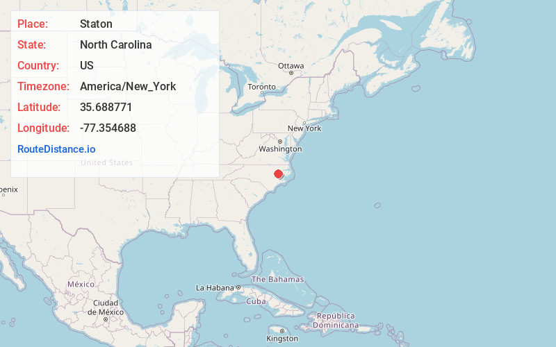
Full AddressStaton, NC 27834
-
Coordinates35.688771, -77.3546876
-
LocationNorth Carolina , US
-
TimezoneAmerica/New_York
-
Current Local Time3:37:07 PM America/New_YorkTuesday, June 17, 2025
-
Page Views0
Nearby Places
Found 10 places within 50 miles

House
2.4 mi
3.9 km
House, NC 27834
Get directions
Stokes
5.3 mi
8.5 km
Stokes, NC 27884
Get directions

Greenville
5.5 mi
8.9 km
Greenville, NC
Get directions
Rock Springs
6.0 mi
9.7 km
Rock Springs, Greenville, NC 27858
Get directions

Belvoir
6.3 mi
10.1 km
Belvoir, NC 27834
Get directions
Bruce
7.3 mi
11.7 km
Bruce, NC 27834
Get directions

Bethel
8.3 mi
13.4 km
Bethel, NC 27812
Get directions
Falkland
8.9 mi
14.3 km
Falkland, NC
Get directions
Simpson
8.9 mi
14.3 km
Simpson, NC
Get directions
Parmele
9.1 mi
14.6 km
Parmele, NC
Get directions
Location Links
Local Weather
Weather Information
Coming soon!
Location Map
Static map view of Staton, North Carolina
Browse Places by Distance
Places within specific distances from Staton
Short Distances
Long Distances
Click any distance to see all places within that range from Staton. Distances shown in miles (1 mile ≈ 1.61 kilometers).