Distance to Steamboat Springs, Colorado

Calculating Your Route
Just a moment while we process your request...
Location Information
-
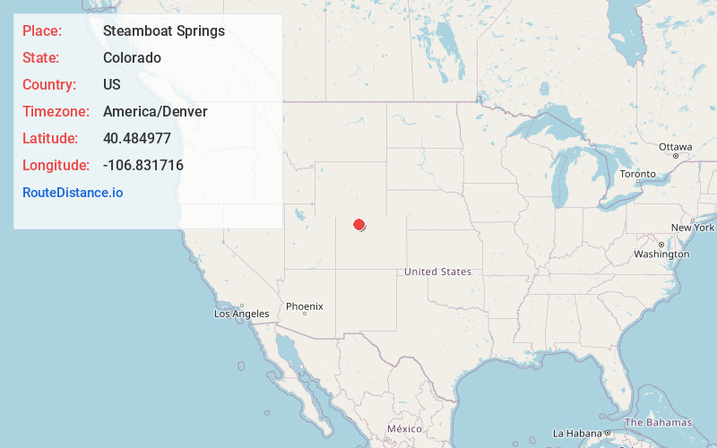
Full AddressSteamboat Springs, CO 80487
-
Coordinates40.4849769, -106.8317158
-
LocationSteamboat Springs , Colorado , US
-
TimezoneAmerica/Denver
-
Current Local Time9:44:18 PM America/DenverMonday, June 2, 2025
-
Website
-
Page Views0
About Steamboat Springs
Steamboat Springs is a city in northern Colorado’s Yampa Valley. It’s home to the Howelsen Hill ski area and the Steamboat ski resort. The latter has 6 peaks including Mount Werner. The city’s geothermal hot springs are said to have therapeutic properties. Near the city center, the long-standing Old Town Hot Springs is equipped with swimming and soaking pools, plus water slides.


Nearby Places
Found 10 places within 50 miles

Mystic
10.4 mi
16.7 km
Mystic, CO 80487
Get directions
McGregor
10.7 mi
17.2 km
McGregor, CO 80487
Get directions
Haybro
12.5 mi
20.1 km
Haybro, CO 80467
Get directions

Clark
15.9 mi
25.6 km
Clark, CO 80487
Get directions

Oak Creek
16.0 mi
25.7 km
Oak Creek, CO 80467
Get directions
Mt Harris
16.5 mi
26.6 km
Mt Harris, CO 81639
Get directions
Glen Eden
16.6 mi
26.7 km
Glen Eden, CO 80487
Get directions

Phippsburg
18.4 mi
29.6 km
Phippsburg, CO 80469
Get directions
Lester Mountain
20.4 mi
32.8 km
Lester Mountain, Colorado 80428
Get directions
Coalmont
21.0 mi
33.8 km
Coalmont, CO 80430
Get directions
Location Links
Local Weather
Weather Information
Coming soon!
Location Map
Static map view of Steamboat Springs, Colorado
Browse Places by Distance
Places within specific distances from Steamboat Springs
Short Distances
Long Distances
Click any distance to see all places within that range from Steamboat Springs. Distances shown in miles (1 mile ≈ 1.61 kilometers).